Phoenix LiDAR - Flying RADAR
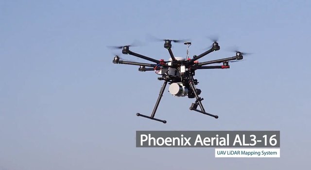
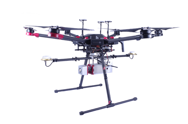
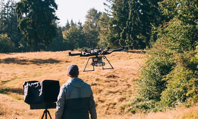
Phoenix LiDAR is a flying RADAR .It is use in glacier and ice field survey.Its is used in those area in which difficult to perform survey.
INFORMATION:
- Its weight is 3.5 kilogram.
- Its speed is 4.8 m/s.
- Its fly range is 250 meter.
- Its length is 30 cm,width is 14 cm and height is 12.9 cm.
- In this Flying RADAR we can use different types of systems like, The Scout-16 , The Scout-32 and Alpha AL3-16.
FEATURES:
- ELEVATION:
To find the elevations of roads and buildings. - PARKS MANAGEMENT:
It is used to plan the park area. - TOPOGRAPHIC SURVEY:
It is used to mark out the boundaries of different plots, cities and towns. - THREE DIMENSION PICTURE:
It give 3D picture of the ground - CIVIL ENGINEERING SURVEY:
It is used in civil engineering survey e.g take picture of the earth. - SECURITY PURPOSE:
It use as a security purpose.
Link
Contributors
Hunter: @muhammadhateeb

This is posted on Steemhunt - A place where you can dig products and earn STEEM.
View on Steemhunt.com


Hi @muhammadhateeb,
Thanks for your hunt. I’ve reviewed and approved it. The hunt is on.
PS: please make sure that the hunt’s description is compelling and correct. The Phoenix LiDAR is more than a drone. The UAV part of the system is the less important element. It’s all about the LiDAR itself. Without LiDAR there’s not much about it, with LiDAR it’s a truly hi-tech item for pros.
hi @fknmayhem i have update my post..
Pros and Cons
Pros:
-Looks very huge and robust drone
-Built for data collections = drones with practical use
Cons:
-Can be used for privacy or population surveillance
Pros:
Cons :
Congratulation! Your hunt was ranked in 87th place on 6 Jul 2018 on Steemhunt.
We have upvoted your post for your contribution within our community.
Thanks again and look forward to seeing your next hunt!
Want to chat? Join us on: