Satellite images to help find slavery in India
Satellite images to help find slavery in
India
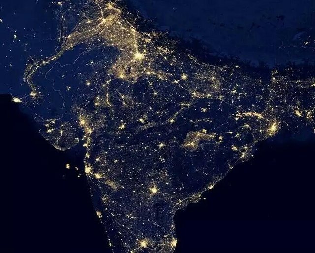
A group of researchers in England are using detailed satellite images of northern India to locate brick kilns, where millions of slaves, including children, are forced to work.
The geospatial experts from the University of
Nottingham use Google Maps and volunteers
to identify these areas and report them to
authorities.
Named 'Slavery from Space', the project will help locate remote kilns or mines.