climbing mountain kerinci!
Mount Kerinci, and known as Mount Gadang, Kurinci Volcano, Kerinchi, Korinci, or (Puncak Indrapura) is the highest mountain in Sumatra, Indonesia's highest volcano, and the highest peak in Indonesia outside of Papua. Mount Kerinci is located in Jambi province bordering West Sumatra province, in Bukit Barisan Mountains, near the west coast, and is located about 130 km south of Padang. This mountain is surrounded by dense forest of Kerinci Seblat National Park and is the habitat of Sumatran tiger and Sumatran rhinoceros.
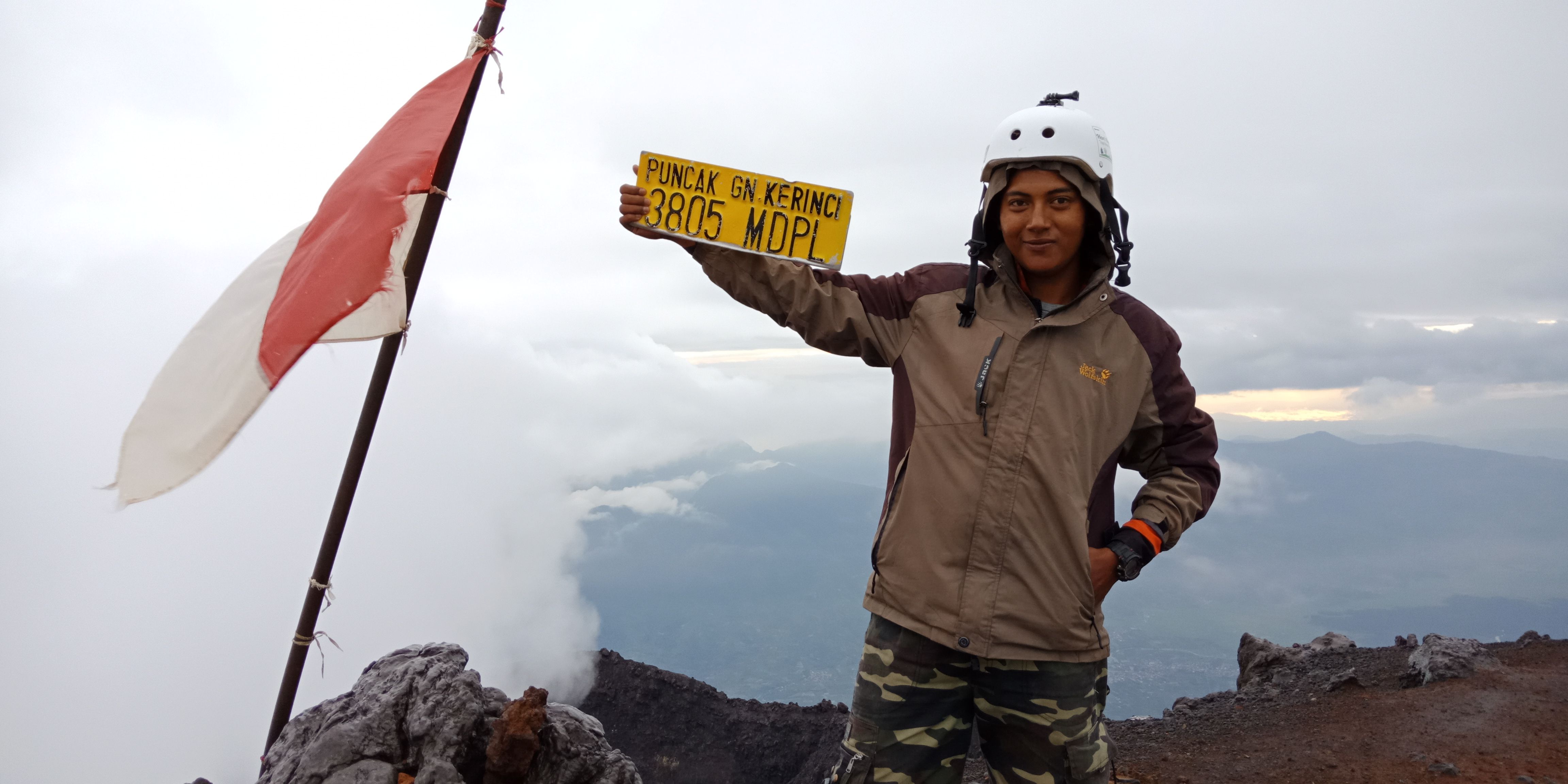
Mount Kerinci peak at an altitude of 3805 meters above sea level, here visitors can see in the distance stretches the beautiful scenery of Jambi, Padang, and Bengkulu. Even the vast Indian Ocean can be seen clearly. Mount Kerinci has a crater area of 400 x 120 meters and contains water that is green. To the east there is the Bento lake, the highest clear watery swamp in Sumatra. Behind it is a seven mountain with a very beautiful crater that is almost untouched. Mount Kerinci is a stratovolcano-type volcano that is still active and the last time erupted in 2009
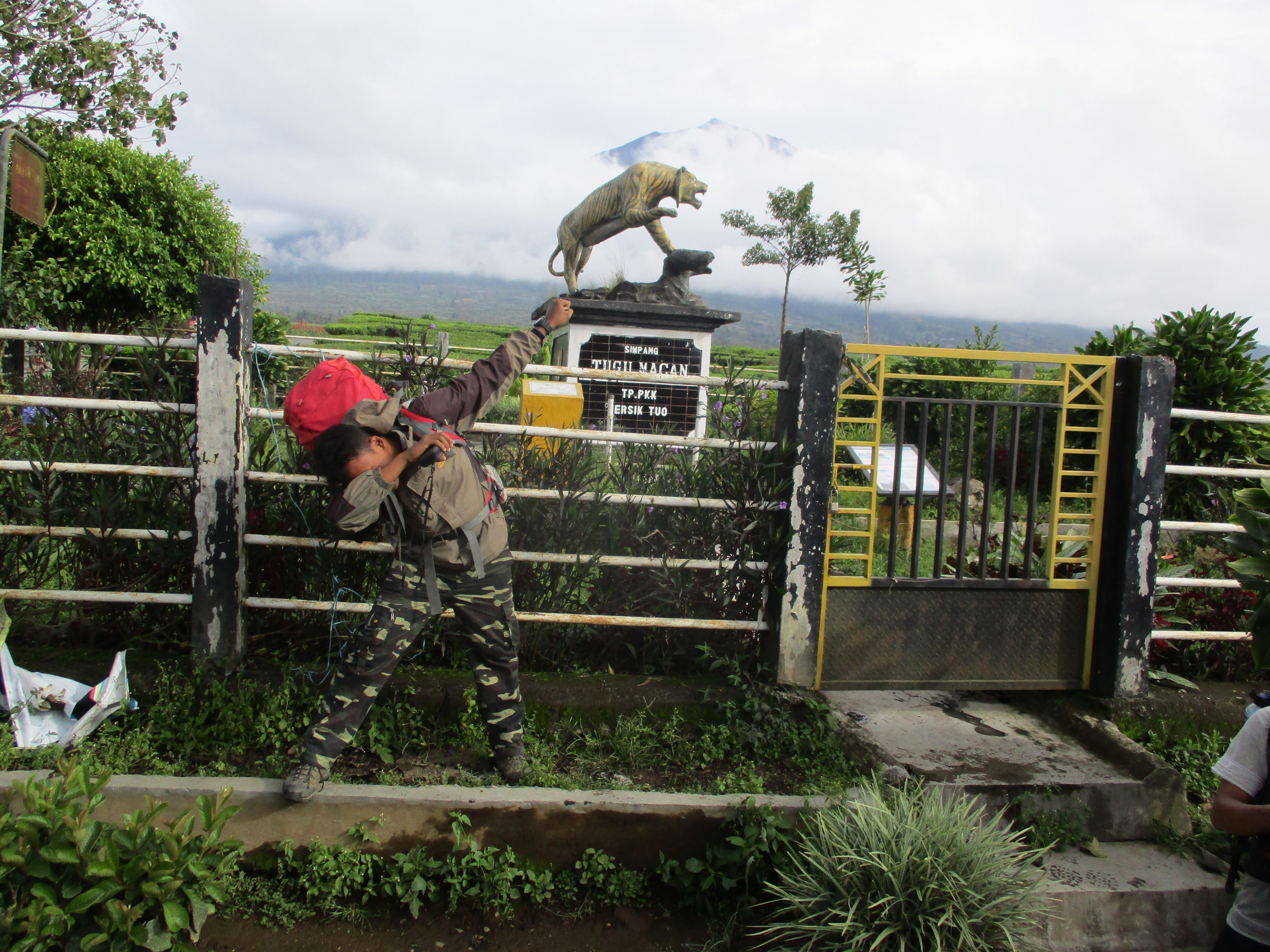
Mountain climbing route kerinci via grit tuo is a relatively high official line or much in the interest of the climbers. compared with the other ascent path is via solok the path is more extreme and difficult, but the terrain path via grit tuo is also quite tiring and takes quite a long time.
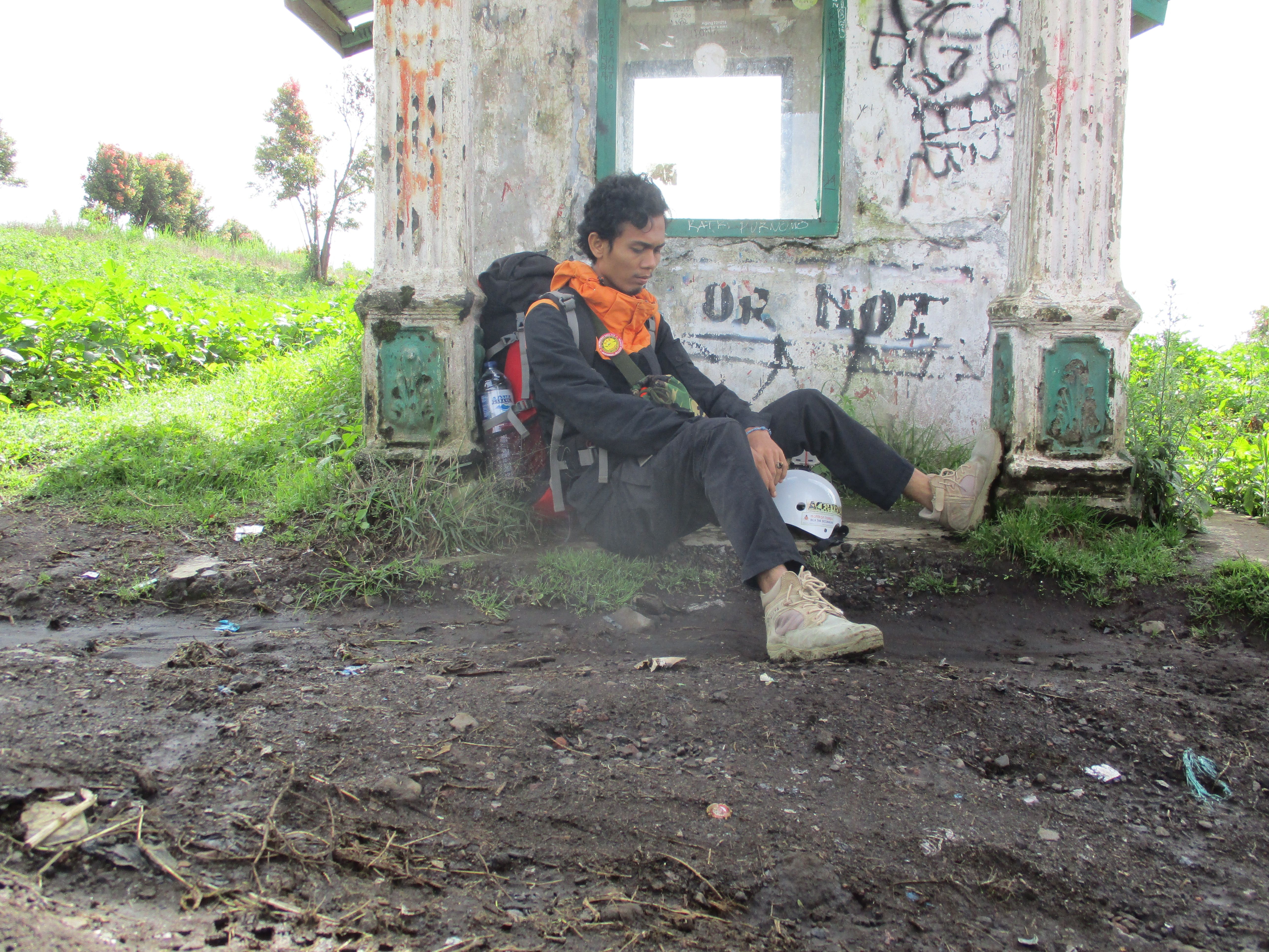
Mount Kerinci climbing system is highly neutralized with access and route to basecamp is not difficult. from Minangkabau International Airport, Padang, can use direct travel transportation to basecamp climbing. travel rate between Rp. 150,000 - Rp. 200.00, - with travel time about 8 hours journey, After arriving at the basecamp, climbers do not have to worry because the basecamp is open 24 hours so the climbers can rest, or eat to refuel first.
Basecamp - The Jungle Door
After resting to get to the permit post can ride motorcycles or if the quota of climbing participants or entourage can pretty much ride pickup that is already available in basecamp. at a rate of about Rp. 15.000, - the transport will take the climbers to the door of the jungle.
Pick ups will not take you to the front door of the jungle, the pickup will descend the climbers around the tea plantation residents and it's quite a distance deket with the door of the jungle, the climbers have to pass the tea plantation.
The Jungle Door - Pos 1
The Jungle Door is a large gate and it will start or start the climbing hill climbing route to the post 1. The field path is a narrow solid ground but not uphill, does not require much time only 30 minutes. itupun not felt to drain the power of the climbers
Heading 1 - Post 2
After arriving at Post 1 (bench) this place is located at an altitude of about 1890 Mdpl. the ground is solid and the location is wide enough there is also a place to rest. from post 1 to post 2 (rock moss) the field of his path is still sloping but in time will feel uphill. if there is rain at that time the path will be more difficult terrain, carefully - prudent crescent or fall due to slick plus many small trees uprooted. takes about 30 minutes to get to post 2.
Post 2 - Post 3
After arriving at post 2 (rock moss) which is located at an altitude of about 2010 Mdpl. this place is a large enough land, the climbers can take a break here but there is no place or post home like a stall. from post 2 to post 3 of this field line has started to climb and still there are pepohan tumabag in the area along the field path. takes about 1 hour to get to post 3.
Pos 3 - Shelter 1
From post 3 (panoramic hut) located at an altitude of approximately 2225 Mdpl. in this place the climbers will find the water source, unlike the previous post its location is not widespread. unutuk headed to the shelter 1 is the climber has started to feel the field of the path is quite heavy and still in the domination fallen trees along the path but more uphill because it is located halfway up the mountain kerinci.
Shelter 1 - Shelter 2
Shelter 1 is located at an altitude of approximately 2,505 Mdpl. the place is safe enough the climbers to set up tents and spend the night there. the location of the land is also quite extensive, after the climber berkuk in shelter 1 the climber can proceed to the shelter 2, with the field paths such as the beginning of the ascent of solid soil and roots trees plus more uphill than before, other than that the rete is very long so it takes power which is quite a lot.
In the middle of the journey before arriving at shelter 2 there is a post where the flat is open and can be used to rest for a moment, in addition also, the cold temperatures have started to feel daru mountain kerinci. continue climbing the field path still continues uphill. takes about 2.30 hours journey
Shelter 2 - Shelter 3
Shelter 2 is located at an altitude of approximately 3,056 Mdpl, this place there is a camp that is often used as a camp to be a special land and there is a water source. the climbers may be surprised at the sight of this one path that is different from the path
climbing the other mountain, arguably the field is quite torturous path and troublesome for the climbers.
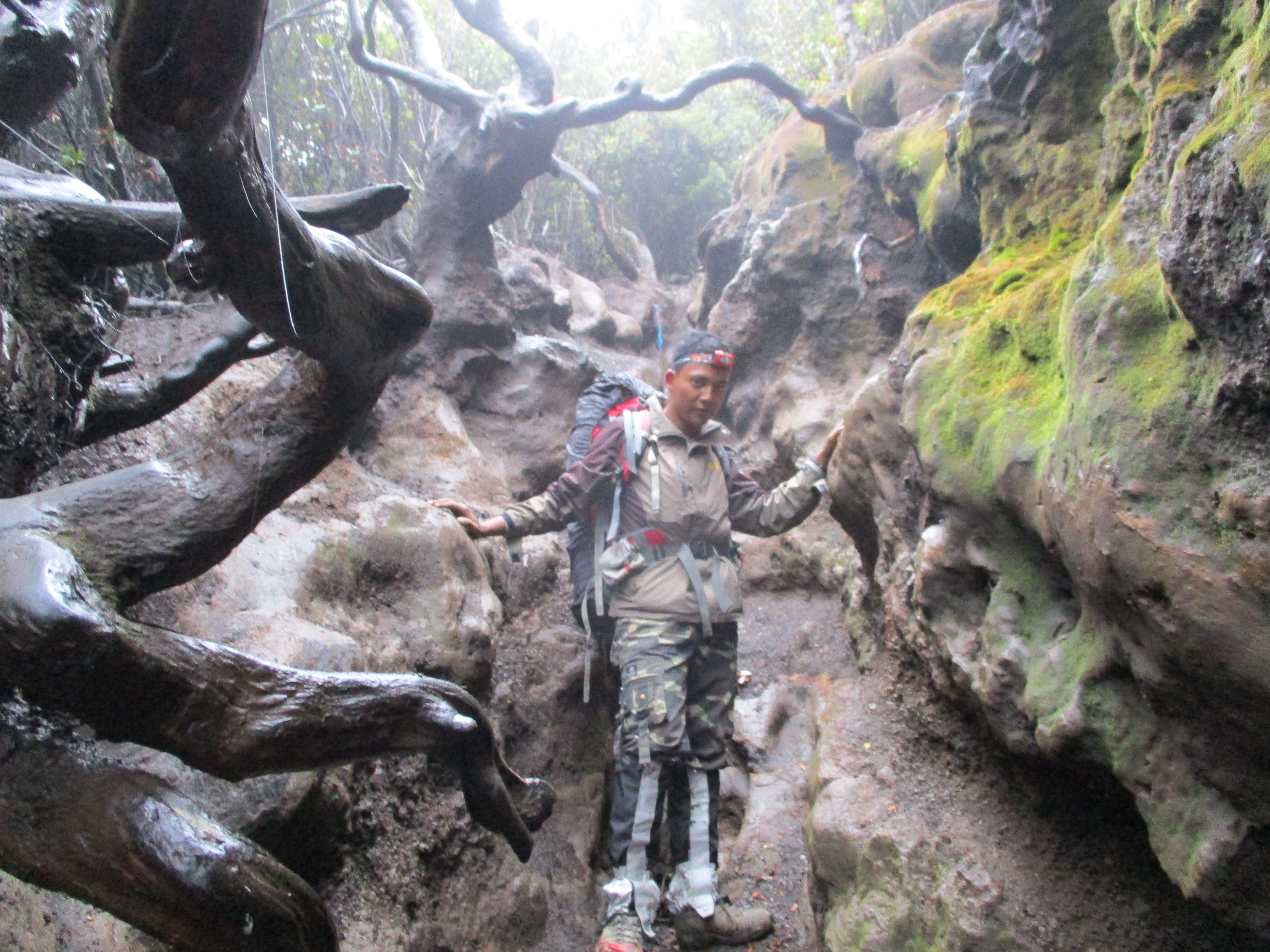
At the time the climbers pass the path directly uphill, narrow and steep, plus tree roots along the path until there is a tunnel roots trees passed. climbing, crawling, crawling, crawling. here the climbers should help each other to attract the hands of a climber friend when distress and must be patient to pass this path. this kind of path is endless and when it reaches in shelter 3 the climbers may have been very relieved.
Climbers must coordinate each other to choose the easy path, there is an easy path but only just a little and just for a moment. want to fold a little by the sides of the waterway path, rather than through the waterway whose tip will climb to climb. takes about 3 hours drive.
Shelter 3 - Monument yudha
Shelter 3 is located at an altitude of approximately 3,291 Mdpl. this place is adjacent to the limits of vegetation mountain kerinci, a large open area with a shelter, there is also a source of water and this place is the location of the last camp in addition to this wide and open area the climbers will be treated to a view of Mount 7, the city of padang, jambi and the beauty of the hills around the mountains of kerinci. The peak of the mountains of kerinci is evident when here, before heading to the summit predict in advance the weather at this peak is sometimes stormy and foggy.
Tugu yudha - Puncak
Monument yudha is where the last isitrahat the climbers to get to the top, in the form of a flat rocky area, there is also a marker in the form of iron pipe painted red-yellow colored along the path to prevent climber getting lost whenever there is fog when heading to the top.
After resting, in the monument yudha the climbers can see how the next path to get to the top with a steep incline. is the last rocky climb that must be traversed before getting to the top of the mountain kerinci.
the best time to climb the Kerinci mountains is during the dry season between June - September. It is recommended that climbers do not climb during the rainy season. Because during the rainy season the path is often landslide and bada view, the storm situation makes the climbers can scatter / stray
above is the discussion that we know after the climb and that includes from my experience Thanks For Read ....
mantab.vot sy y
Okke Vote balik ya