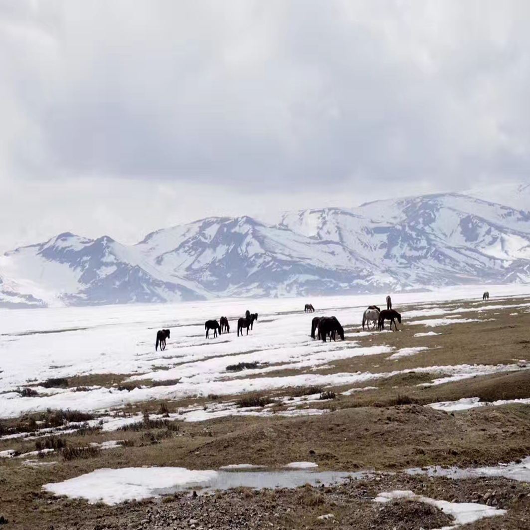
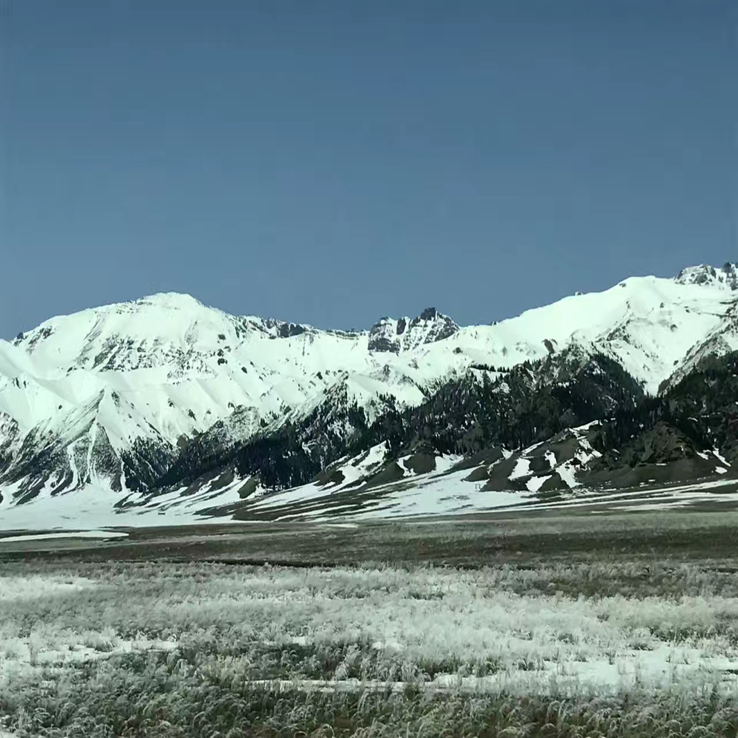
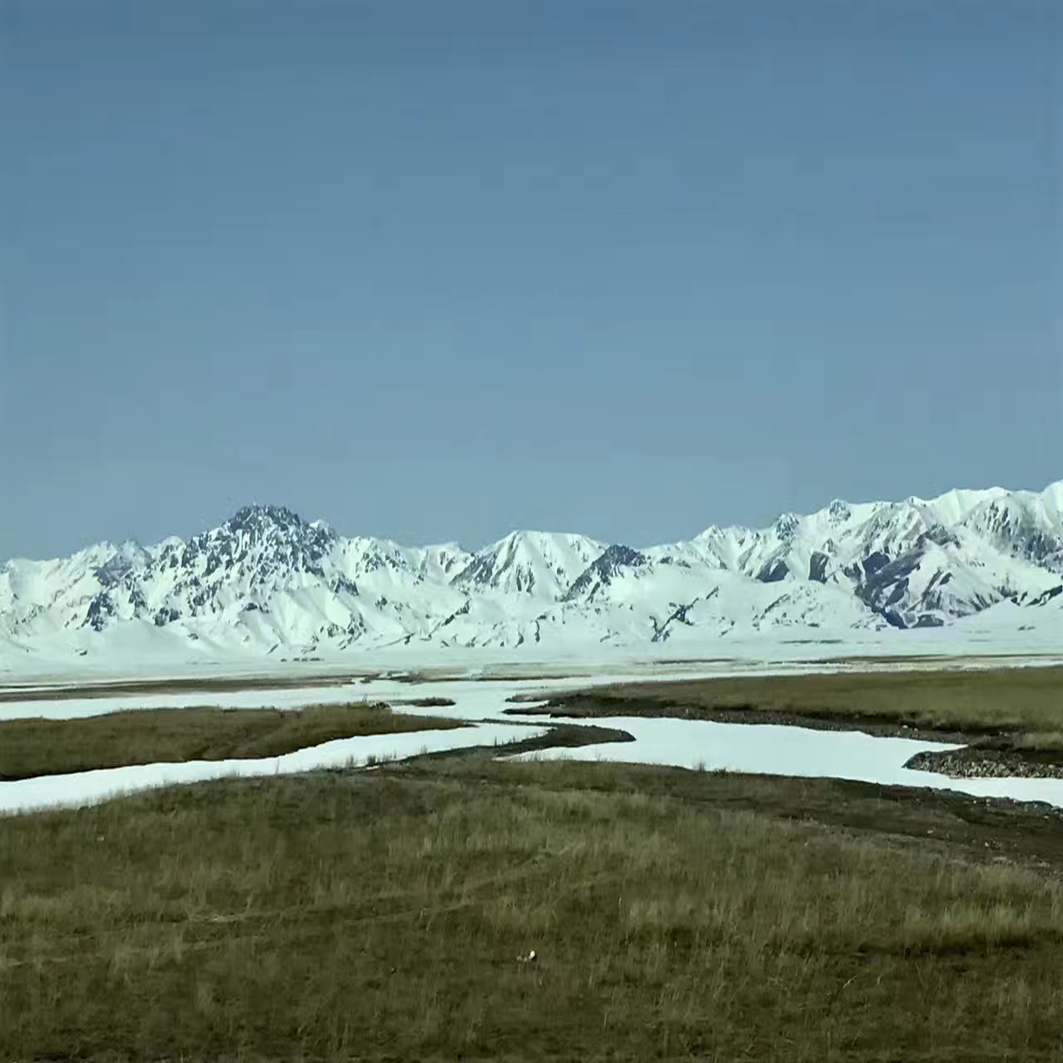
Snow area plateau
From the north to the south, the qinghai-tibet plateau consists of six tectonic belts, including qilian - qaidam, kunlun, bayan - qala, gangdi, himalaya and qiangtang-qamdo.
The Tibetan plateau
Qinghai-tibet plateau (4 sheets)
The qilian - qaidam, kunlun and bayankala tectonic belts in the north of the plateau belong to the tectonic belts of the southern margin of the Eurasian ancient continent. On the early and middle proterozoic crystalline basement, the early Paleozoic superior geosyncline developed, the caledonian movement caused the geosyncline to return, forming the folded basement, and the late Paleozoic transformed into stable capping strata.
Plateau to the south of the mountain, the Himalayan tectonic belt, alternation in the middle-late proterozoic crystalline basement integration, starting from the early Paleozoic development platform caprock, the Marine sedimentation continues to Eocene, among them - the late carboniferous to the early Permian widely developed the gondwana phase, mixed type conglomerate and cold water ice biota is gondwana northern micro landmass.[19-20] [21]
stratigraphic structure
The qinghai-tibet plateau is divided into seven stratigraphic zones by several plate suture zones:
Qilian stratigraphic region: the main body consists of the crystalline basement composed of the middle and lower proterozoic crystalline schist and the folded basement composed of the metamorphic basement and the middle base volcanic rocks mixed with metamorphic clastic rocks.
Qaidam stratigraphic area: it is covered by Cenozoic clastic rocks up to 6000 ~ 7000 m thick. The basement rock system includes mesoproterozoic crystalline schist and mesoacidic volcano-sedimentary metamorphic greenschist system of the lower Paleozoic.
Kunlun stratigraphic zone is composed of lower middle proterozoic schist, gneiss, lower Paleozoic greenschist and upper Paleozoic - Mesozoic sedimentary cap.
Bayankala stratigraphic area: it is characterized by the extensive Triassic polyphyllite sandstone SLATE, south of east kunlun-west qinling mountains, west of longmen mountain and between jinshajiang river.
Qiangtang-qamdo stratigraphic zone: a vast area between longmuchou-jinshajiang suture zone and banggongcuo-nujiang suture zone.
Gangdise stratigraphic area: the vast area between the bangongcuo-nu suture zone and the Brahmaputra suture zone. The middle and upper proterozoic crystalline rock series, known as nianqing tanggula group and nangabawa group, are sporadically exposed.
Himalayan stratigraphic region: middle and upper proterozoic crystalline schist is exposed along the high Himalayas, called qomolangma group and nyalam group.
formation
crustal structure
The crust and upper mantle media of the qinghai-tibet plateau show obvious heterogeneity in both vertical and transverse directions.There are clear block-layer structures in the lithosphere: vertically stratified and horizontally partitioned.The lithosphere is about 140 ~ 170 km thick, and the average thickness of the earth's crust is about 70 km.The thickness of the crust is relatively uniform in the east-west direction, with little change, while the north-south direction has a great change.For example, on the northern side of the Brahmaputra fault, the moho face is raised by 8 km compared to the southern side.Compared with the surrounding land mass, the crust of the qinghai-tibet plateau is twice as thick.
- Qilian tectono-magmatic belt
In the qilian tectono-magmatic belt, in addition to the extremely thick mesobasal volcanic eruption in the early Paleozoic, two granite belts developed along the mesoqilian uplift belt, mainly granite, granodiorite and granodiorite, forming a huge rock foundation.
The Tibetan plateau
Qinghai-tibet plateau (4 sheets) - Qaidamu tectono-magmatic belt
The magmatic activity of the qaidam tectono-magmatic belt is mainly found at the edge of the basin. - Jinshajiang tectono-magmatic belt
The jinshajiang tectonic magma has two granite belts, which are accompanied by the jinshajiang ophiolite melange and the middle basic volcanic belt of the Triassic batang group.It is mainly quartz diorite and granodiorite, with the characteristic of syn-fusion.
Tanggula tectono-magmatic belt
Tanggula tectono-magmatic belt is associated with the bangongcuo-nujiang ophiolite belt, and granodiorite and biotite granite are mainly formed on its south side, forming the bedrock.In the north, biotite monzogranite is mainly a small rock, which invades the Jurassic. - Gangdise tectono-magmatic belt
The gangdese tectono-magmatic belt is composed of calc-alkaline intermediate-acidic - acidic intrusive complex, 50 ~ 100 km wide from north to south, stretching for more than 1000 km along the east and west of gangdese mountain, and connecting with ladakh granite in the west.

Nothing to read in the German language, please remove tag " deutsch ". Thank you.