SLC S22W1 / Digital Cartography Basics
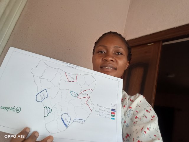
Participating in this contest is one of the greatest things I choose to do today. I am delighted to join the frist week of Digital Cartography Basics which I will help me expand and explore my knowledge about geography. Actually it was one of my best course back in school.
It was my delight to make a freehand stretch of my country, Nigeria. Nigeria is the gaint of Africa located in the west side. I use A4 paper and a pencil to make the stretch, then I indicate all the available 36 state in my country.
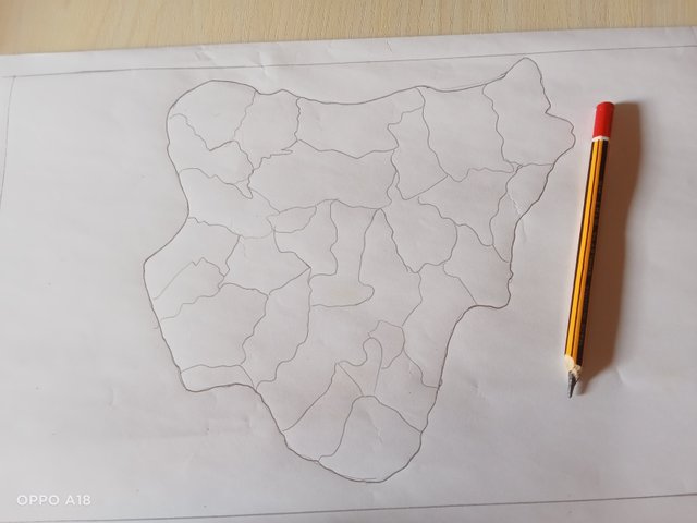
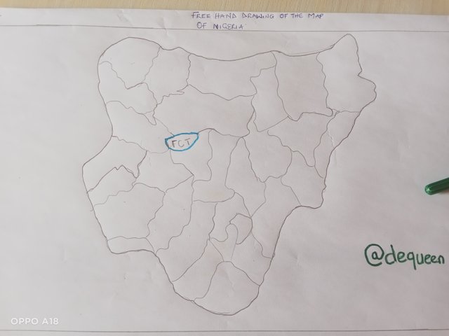
From my explanation above, you know that my country is Nigeria. So the capital of my country is Federal Capital Territory (FTC), Abuja. FCT is a very beautiful and Morden city, with lots of opportunities and amenities although it is a small city compared to other states. It is located near the centre of Nigeria, close to the North Central region.
My current state is Akwa Ibom State. The distance from this my state to the Federal Capital Territory Abuja, is a bit far,as it is clearly stated in the picture.
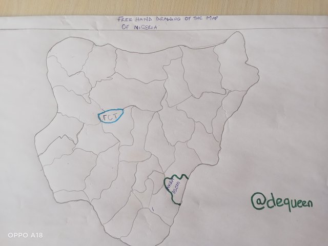
From my sister who based there,she normally take transportation by road and confirmed that it is about 10 to 12 hours but transportation by air is 1 hours. The distance in is about 462 kilometres or 287 miles away.
To be very honest and sincere, I have been to few state in my country, I was born brought up in Akwa Ibom State and after my tertiary institutions, I visited the few state point here is the map with blue pen.
Lagos, Edo and cross River
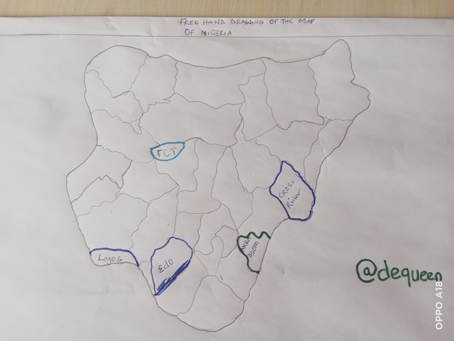
From the 36 state in my country, l know only 4 and I visited 3 . Here you can see with that l still many state to explore and if any chance is give it would be one of the greatest moments, memories and season of the year.
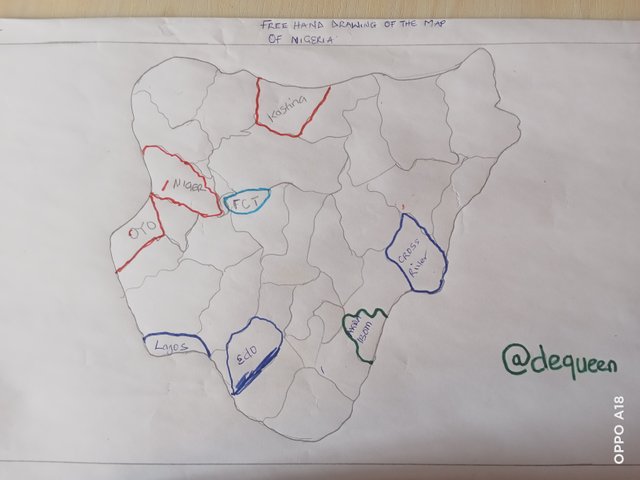
In my mind, the frist three places l would like to visit is Katsina., Niger and Oyo State. I have highlighted the state with red drawing pen. I found out that these three states has unique features, lots of opportunities and amenities.
Many people say that travel is part of education, I always say that it is education itself because If I an individual visit a new place definitely her or she will learn new things, starting from language, culture and religion. etc.
In Kastina state, a place I will like to visit is kastina-Ala River and the Udi Hill. It has several natural attractions.
In Niger State, I will like to visit the Kainji Dam. It is the hydroelectric dam that supplies electricity to my state.
In Oyo State,I would like to visit their old National park.
Reply:
In own understanding map is defined as a graphic representation of a city, a country, a region or the world, this paper work allows us find detailed information about any place, since it contains a geographical features roads, rivers, mountains, buildings and others place.
Map is important because help use of navigate the world, help to be specific in a place we want to visit and.carry out business plus other activities.
From my view point,the most important relevant elements of maps are as follows:
Title: This refers to the name of the Map. It provides the viewer with the subject of the Map.
Scale: The important of the any scale in a map is to indicate the relationship between the size of the map and the size of the area it represents.
Legend: This helps us to understand the colour, symbols or abbreviations used on a map. Without legend,it would be difficult to understand what the different marking represent.
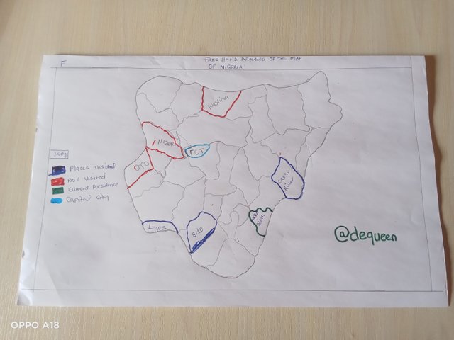
Conventional signs: This help to identify aspects on the map and these are universal.
Relative location: This helps in indicating the place we want to represent on the map, such as the country where we live or our state, because it is an easy way to identified.
Yes, cartography is very important to know. One of my reason is that map help us in finding direction, we easily navigate our surroundings using map.For example the closet mall or best super stores.
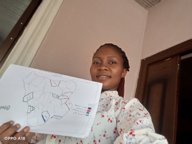
Maps helps us in understanding location, where things are happening and how it to related to each other. This is crucial for areas like disaster response, land management and economic growth.
Cartography is very essential tool for research and education, lt help students to analyse data and develop a critical thinking skills in school.
Maps contribute to our every day lives, we can use it to check weather forecast and also navigate GPS coordinates in our Car.
My special thanks goes to @soywilfredg for providing an elaborate information about geography. I would like to invite @lovinah, @mile16 and @eliany and @stef1 to share their entry with us.
Hola dequeen, éxitos en esta tarea.
Verificado en: 20-12-2024