My California - The Sawtooth Peak Loop

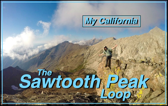
For this weeks Show Us Your California contest by @socalsteemit I head out into the Sequoia backcountry for...
the Sawtooth Peak Loop!!

For my third and final trip in the Mineral King area of Sequoia National Park I headed out for a three day, three peak, loop. I started at the Sawtooth trailhead and made my way up the trail to Monarch creek. The trail had awesome views overlooking Mineral King valley and the creek crossing made a nice spot for a rest. From the crossing the trail climbed steeply up the hill to a trail junction. The left fork leading to Monarch lakes, the way I would be returning. And the right fork to Crystal lakes, which was the way I went. Shortly after I passed the junction for the Cobalt lakes and made the final climb up to Crystal lakes. The lower lake was the bigger of the two lakes, and it was quite beautiful. But I made my way up to the upper lake which had much better spots for setting up my camp.

Overlooking Mineral King Valley

Views from the Sawtooth trail

Monarch/Crystal lakes junction

Trail junction to Cobalt lakes

The dam at lower Crystal lake

Overlooking lower Crystal lake

Upper Crystal lake
After camp was setup I decided to climb Mineral peak(11,315')! The climb was fairly easy although it did have some fun class 3 sections. The views from the top were spectacular, and I lingered on the summit for quite awhile enjoying them! Then I descended back down to my camp at the lake and made it with just enough light left to enjoy some trout fishing before dark.

My camp

Climbing Mineral peak

Views looking west from Mineral peak

Views looking south from Mineral peak

Views looking east from Mineral peak

Evening trout fishing
In the morning I packed up camp and then climbed up to the pass in between the Crystal lakes and the Monarch lakes. The top of the chute on the north side of the pass was still packed full of icy snow which made for a fun obstacle. But I got passed it and made my way down to upper Monarch lake where I setup my camp on a nice little beach. Then I packed up a little day pack and headed out for some peakbagging!

Decsending to upper Monarch lake

Overlooking my camp at upper Monarch
I climbed up to the south ridge of Sawtooth peak and then worked my way up the ridge to the summit(12,343')! The summit block took some fun technical moves to get on it, and it had huge exposure on almost all sides. Of course I stood on it for the picture, but then I sat down to more safely enjoy all the amazing views.

Views looking south from Sawtooth peak

Views looking north from Sawtooth peak

Standing on the summit of Sawtooth peak
From there I dropped down the rugged east ridge and headed towards Needham Mountain. I had to drop down a lot lower than I would have liked in order to avoid the technical stuff along the top of the ridgeline, but eventually got over to Needham and made the climb up to it's summit(12,467')! Needham had a couple summit blocks and it was hard to tell which one was the highest, but I climbed on them all so I'm sure I made it to the top! The views from the top of Needham were so huge!! I could see from the hazy San Joaquin valley in the west all the way to the heights of the Sierra Crest in the east. The jagged peaks of the Kaweah range and the Great Western Divide, and the massive deep canyons of the Big Arroyo and the Kern river. It was so awesome!

Blooming Shooting Stars on the east ridge

Traversing the ridge to Needham mountain

Views looking west from Needham mountain

Views looking south from Needham mountain

Selfie on Needham mountain
After enjoying some time on my final peak of the day I started making my way back. I climbed back over the south ridge of Sawtooth and dropped back down to my camp at upper Monarch lake where I once again had some fun trout fishing before dark.

Looking back at Needham mountain

Rock formations on the south ridge of Sawtooth peak

Overlooking upper Monarch lake

Trout fishing

Trout fishing

Evening at camp
The next morning I woke up and packed up my camp. I had originally planned to climb Empire mountain before hiking out, but some clouds had moved in and Empire was totally engulfed. Climbing up there to just be wet and cold and get no views didn't sound all that appealing so I decided to skip it and just hike out. Hopefully I'll climb it someday with better weather. I made my way down passed lower Monarch lake and then caught the Sawtooth trail back down to the trailhead in Mineral King valley.

Upper Monarch lake in the morning

Overlooking lower Monarch lake

Lower Monarch lake

Deer along the Sawtooth trail

Dropping back down into Mineral King valley

Map (click to enlarge)
Until next time...
I hope you have enjoyed this glimpse into
My California!!


Contact me on Discord


#SoCalSteemit is building and supporting the Steemit community of Southern California. If you are from SoCal and are into creating quality content here on Steemit, we'd love for you to follow us @SoCalSteemit and join our group on Discord


