the Hurricane barrier wall
I share from time to time photos when on top of the hurricane barrier wall here in New Bedford, but for today's post focusing more of the structure of the Hurricane barrier wall itself and doing a mix of color and mono shots.
Standing as a massive 3.5-mile sentinel across the harbor, the New Bedford Hurricane Protection Barrier is the longest stone structure of its kind on the East Coast.
Completed in 1966 after the devastating surges of the 1938 and 1954 hurricanes, this engineering marvel protects over 1,400 acres of coastal land across New Bedford, Fairhaven, and Acushnet.
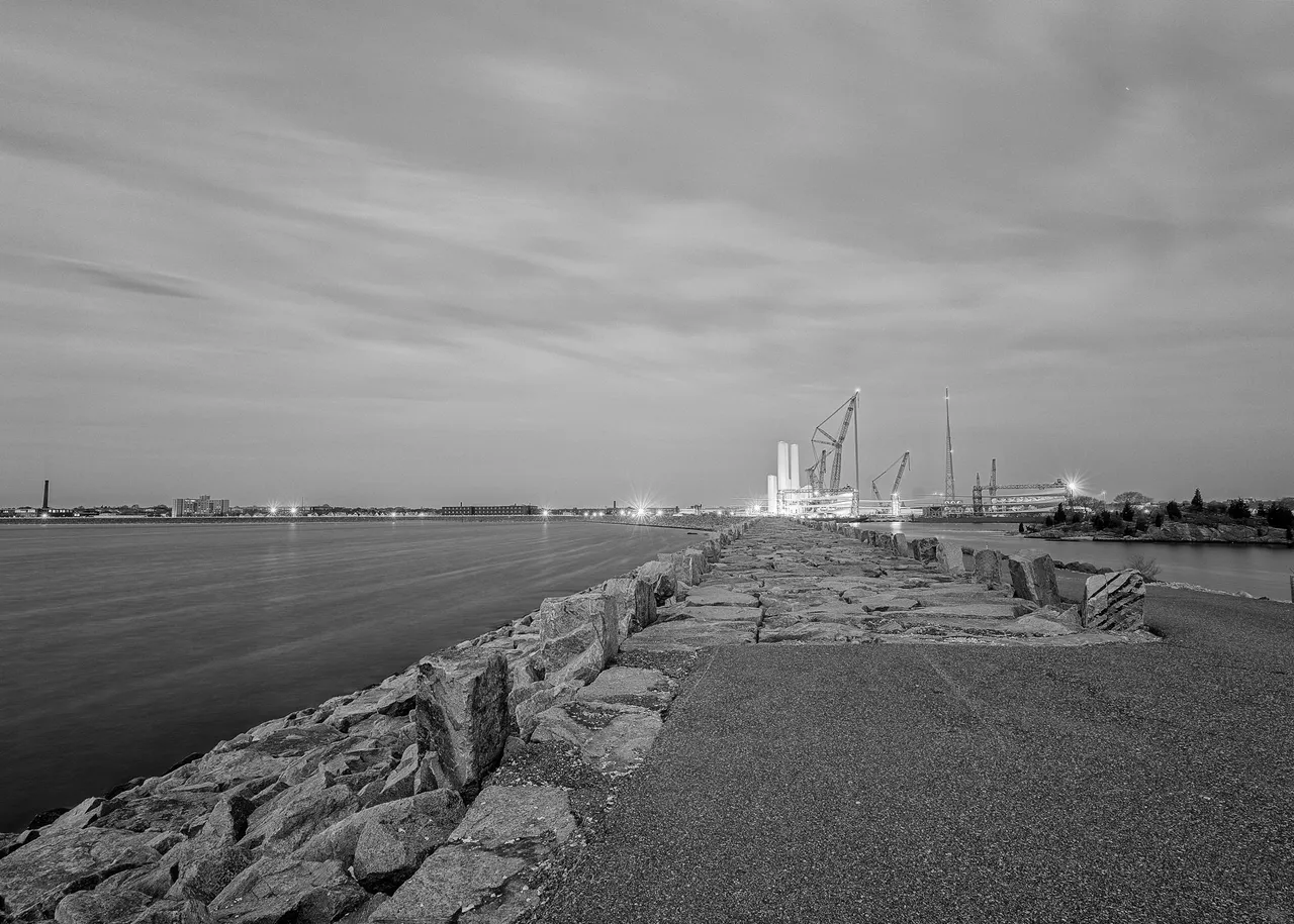
Its most striking feature is the 150-foot-wide navigation opening, flanked by two massive 440-ton steel sector gates that can swing shut to seal the harbor off from the fury of Buzzards Bay during major storms, but otherwise remain open to allow boats to pass out from the harbor to the ocean.
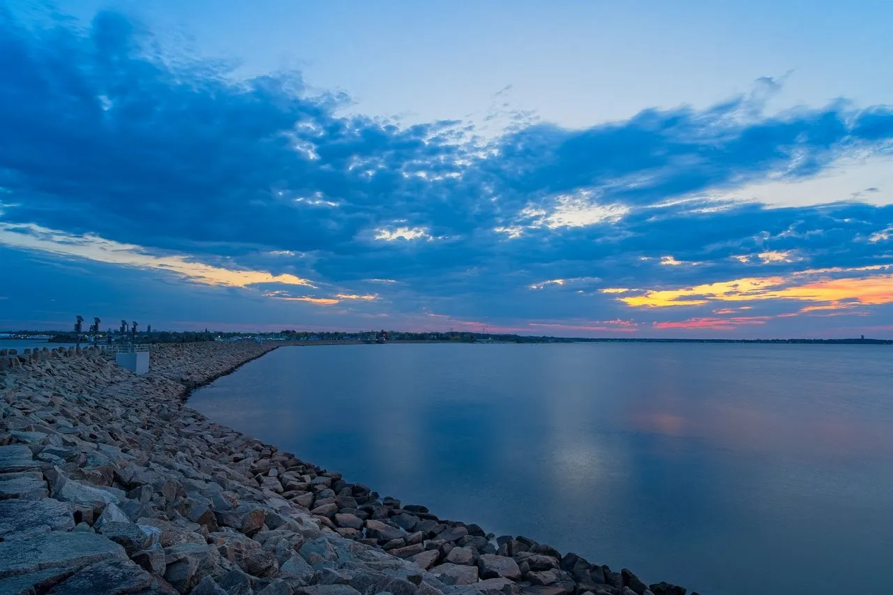
Beyond its role as a vital piece of infrastructure, the barrier has been transformed into one of the city’s premier recreational destinations. The top of the dike serves as the HarborWalk and CoveWalk, offering miles of elevated, paved pathways with unobstructed views of the Atlantic. Whether you are watching fishing boats traverse the channel or enjoying a sunset walk toward Fort Taber Park, or as I do enjoying it at sunrise, which I will admit is when it is the quietest more people walk it during the day and at sunset, , the barrier provides a unique vantage point where the industrial strength of the Port of New Bedford meets the natural beauty of the Massachusetts coastline.
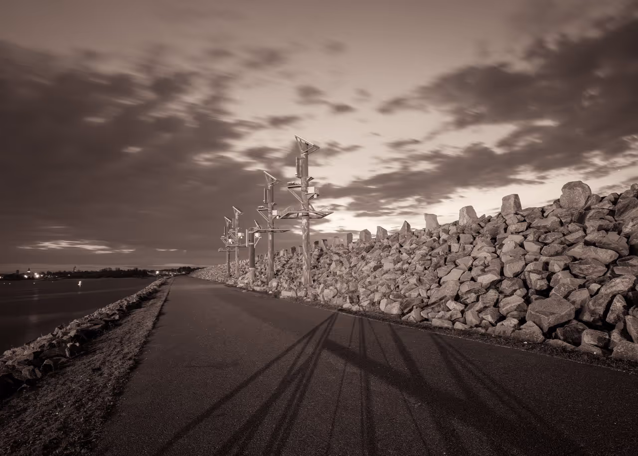
This first shot is the road heading beside the wall to the the gates that can close to protect the area when a storm approaches