Google Earth and ArcGIS

Today I will tell you the difference between Google Earth and ArcGIS.
What is Google Earth
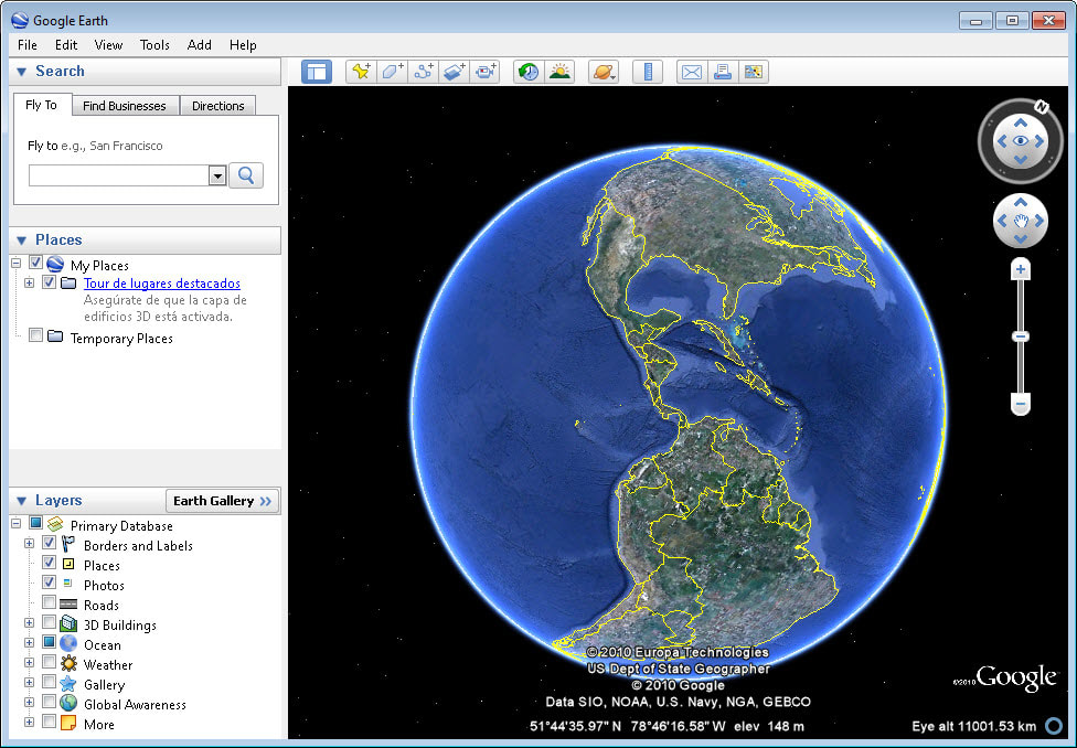
Google Earth is a computer program that provides the users with a 3D image of Earth based on satellite images. Google Earth is a 3D map of the world, created by collecting images via satellites. It allows users to view places, mountains 🗻, landscapes and pretty much everything on Earth from different angles.
What is ArcGIS
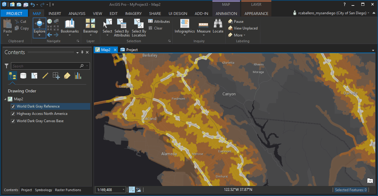
On the other hand ArcGIS is a geographic information system (GIS). It is designed to work with maps and also create them. and . It is used for many things like managing geographic databases, compiling them and lots of other things.
What Is The Difference- which one is better?
👉Google Earth is normally used by people for ordinary purposes like exploring the Earth by just entering the coordinates or names of the places that they wanted to see. Google Earth can be used in mobile devices as well as on a PC . It uses a language called key hole markup which allows users to add their data into the program . This GIS system is used mainly to provide an infrastructure for maps creation and to make geographic information available to an organisation, community or to the web.
👉 Google Earth has a large range of tools in its desktop application. You can find globes of Moon and Mars on Google Earth as well as the real view of a night sky. Google Earth comes with an flight simulator game and 360-degree panorama imageries of some of the most famous landmarks in the world.
👉 ArcGIS system is more for corporate sector. It allows users to see or ask for maps created by ArcGIS products. ArcGIS Desktop version have these following three functionality levels. It permits the users to view 3-D data, it performs primary three-dimensional analysis and creates layered maps. ArcGIS provides more advanced tools for exploiting shapefiles and geodatabases.
👉 Google Earth provides geographic information services to ordinary people.While, ArcGIS has mainly focuses on corporate sector and organisations on the other hand. Google Earth is used by more people when it comes to global exploration. But ArcGIS provides the users with more tools and features for customization and manipulation of maps according to their own requirements.
CONCLUSION
in the end it all depends on the user, if he is a civilian Google Earth is best for global exploration as it is user friendly and have many options where as if you are in cooperate sector ArcGIS is best as it will help in their projects and other works.
I Had some help from this website https://crazytechtricks.com/google-earth-vs-arcgis/
Wow I did not know about anything other than Google Earth. Thanks for the info
Thank you
I think china has Baidu Earth, its not so google friendly here
Hi! I am a robot. I just upvoted you! I found similar content that readers might be interested in:
https://crazytechtricks.com/google-earth-vs-arcgis/
@originalworks
@originalworks2
@originalworks2
Your Post Has Been Featured on @Resteemable!
Feature any Steemit post using resteemit.com!
How It Works:
1. Take Any Steemit URL
2. Erase
https://3. Type
reGet Featured Instantly – Featured Posts are voted every 2.4hrs
Join the Curation Team Here