The beautiful Araya Peninsula.
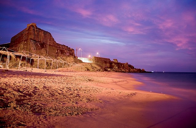
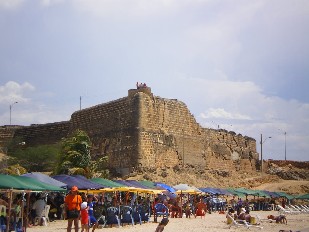
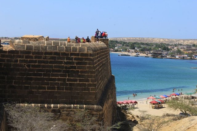
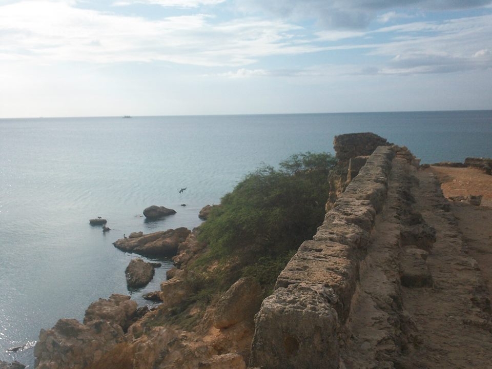
The Araya peninsula is located in Venezuela in the north of Cumaná Sucre state of the Cruz Salmerón Acosta municipality. In 1625 a great castle was built called "Royal Force of Santiago de Arroyo de Araya" (Santiago, by the patron of Spain, Arroyo, by the governor of the time and Araya, by the name of the place). The Castle of Araya as it is known today was declared a national historic monument in 1960. The castle is located on the shore of the beach and was sentinel of the Laguna Madre, an inexhaustible source of mineral salt that has given the Venezuelan palate a taste.
Source:https://venezuela.com.ve/turismo-clima-y-hoteles-de-araya.html
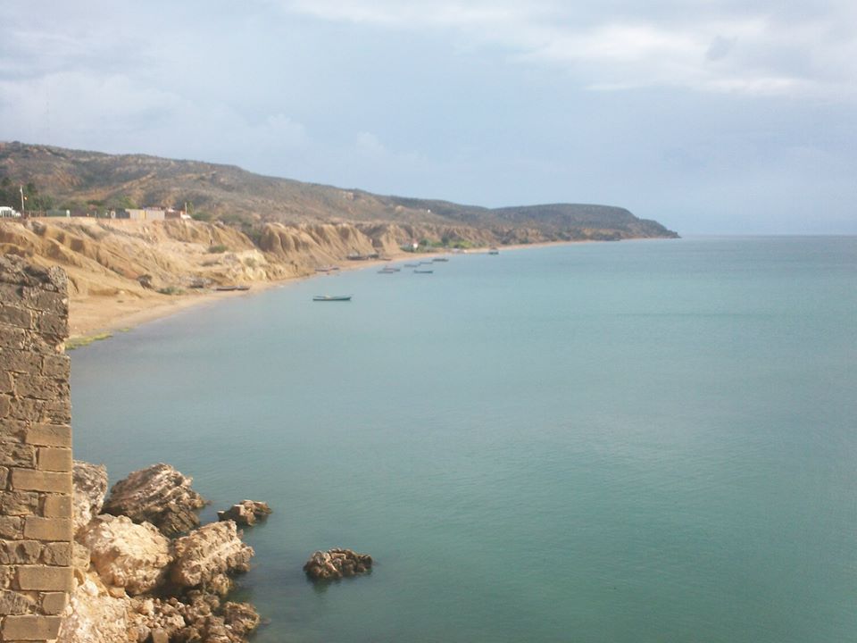
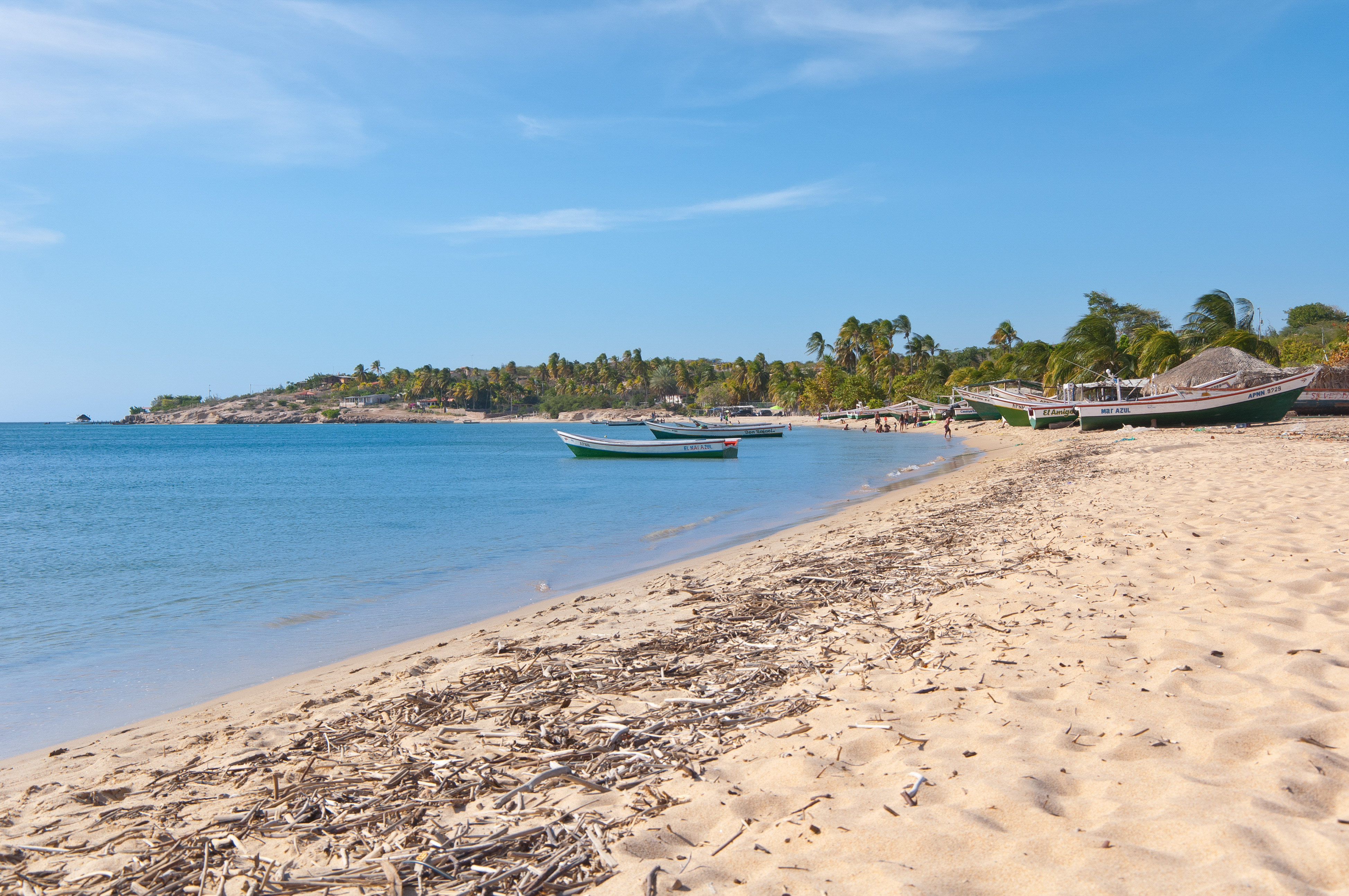
The Peninsula is attractively arid and offers the tourist more than 270 kilometers of coasts in a territory of 642 km2, with beautiful beaches and inlets. Its vegetation is clearly xerophilous and dry forests. Araya, comes from ARAÍ-A, which means in the original language ABOVE or ABOVE, so that Araya could mean EARTH EMERGE FROM THE WATERS.
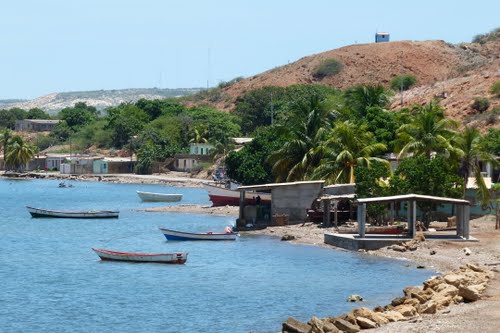
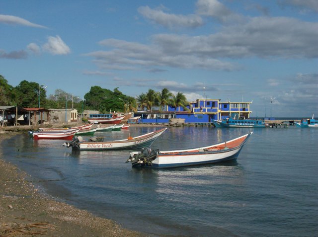
It offers pristine beaches and inlets, colorful villages and exotic places. Among the most visited towns are Chacopata, Guayacán, Caimancito, Taguapire and Guamache, in the northern part of the peninsula and Punta Arenas, Manicuare, Tacarigua and Merito in the southern part. You can enjoy a beautiful sunny day at Castillo Beach, Los Muertos Beach, La Paría Beach or at Punta Cangrejo. In addition, this tourist hub is also the cradle of cultists. The towns that are in the peninsula always prepare cultural activities for the enjoyment of own and visitors.
Source:https://www.elcambur.com.ve/elcambur/opinion/la-pesca
Source:http://mapio.net/pic/p-7639830/
To get to Araya, you can go by land or by sea. If you go by land from Cumaná, more than 3 hours of road are required; On the other hand, if you want to go by sea, you can get there approximately 30 minutes by bus, better known as "Los Tapaitos", which reaches the town of Manicuare, and from there you have to take some vans that will take you directly by land to the town of Araya.
It also has another means of transport that is a Ferry, known as "La Palita", which has 3 daily departures and goes directly to the town of Araya, the trip takes about an hour and you can take the vehicles on the Ferry.
Source:https://www.tiwy.com/pais/venezuela/peninsula_araya/esp.phtml
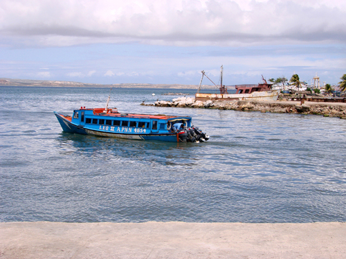
Source:http://www.panoramio.com/user/572578
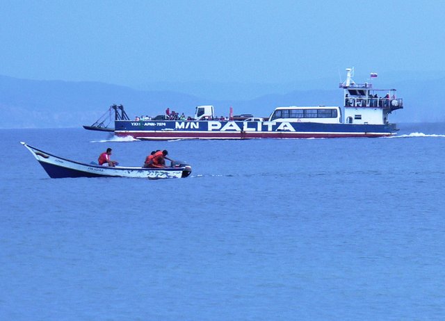
Source:http://www.venezuelaaldia.com/2017/08/02/sigue-fenomeno-venezuela-tornado-sorprende-sucre/
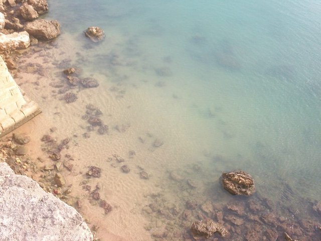
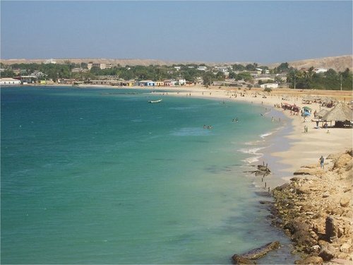
The most popular and the most visited beach on the Peninsula is Playa del Castillo. This coastal beach is of crystalline waters, warm, quiet, with soft waves and white sands for recreation and recreation.
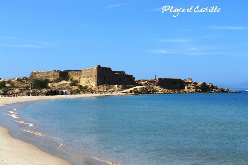
Source:http://www.araya.com.ve/index.php/hospedaje
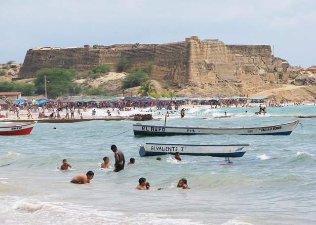
Source:https://www.turismosucre.com.ve/araya/castilloaraya/
It offers parking services, awnings and chairs rental, restaurants, restrooms, showers, boat rides, as well as tanning touring vendors, handmade beachwear, bracelets and necklaces. This beach can be camping, with prior authorization from the community. In high season the services are more numerous.
Source:http://mapio.net/pic/p-26020089/
Source:http://www.mintur.gob.ve/mintur/blog/feria-internacional-de-turismo-de-venezuela-ya-esta-en-la-web/
Source:https://commons.wikimedia.org/wiki/File:Araya_-Pen%C3%ADnsula_de_Araya-_Venezuela.jpg
Source:https://www.flickr.com/photos/venezuelagaleria/2786206025
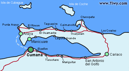
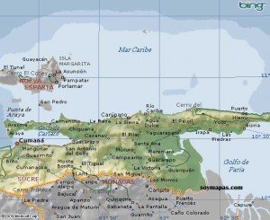
Finally, to clearly locate where these wonders of beaches are located, we will see in the following image the map of the state Sucre of Venezuela, there we note the location of the state capital Sucre (Cumaná) and its important cities, also indicates the main ones roads to reach the most prominent tourist sites.
REALLY amazing pictures!
i follow you! like this post. Please, Follow me too. Thank you.
Hi friend thank you. I also follow it and vote. We are in touch, greetings and a big hug. @playtime
muy bonito post saludos paisana