Doing a eight hours hike in the Bavarian Alps at best conditions (Fotos + Videos)
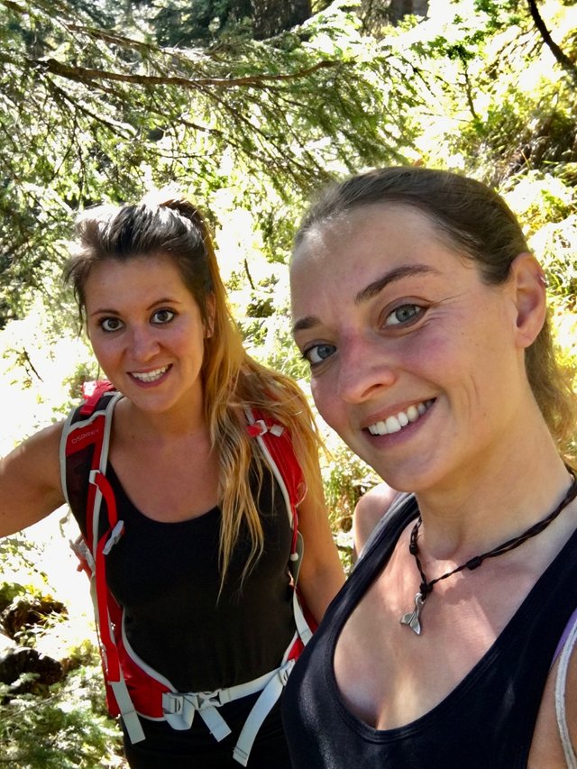
A few weeks ago my best friend Fie was finally flying in for a visit. We did travel a lot together already in Mexico, Belize, Iceland, Denmark and Thailand, but it was the first time I could host her in Germany, so I was really happy!
Fie is from Copenhagen and hosted me 3 times already showing me around. So finally I got the chance to do the same ;)
The highlight of that week was definitely the hike I am telling you about today. It was October already but still pretty warm (around 26degrees) that day. No clouds, a lot of colors because autum had arrived and not a lot of people. - Perfect conditions for a long hike!
So in the early morning we drove from my new home close to Munich to the starting point of the hike!
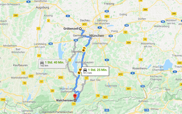

We arrived a bit late actually and I was afraid to get in the dark on our way back, because last time I had been up there that was exactely what happened. And then it is no fun anymore.
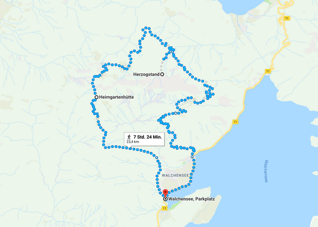
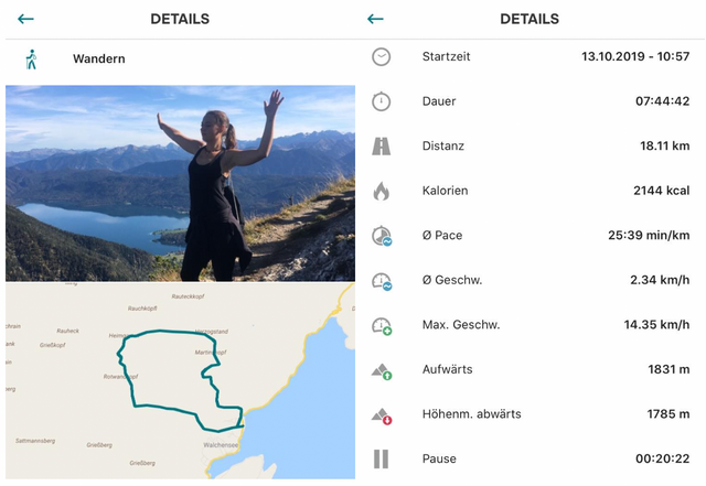
The hike takes about 7hrs 40minutes going all the way up to the top of Heimgarten, cross to Herzogstand and go down again from there.
We had lots of water and food with us and were pretty excited! I love this hike! I knew which great view we would have, because I had been there with @freiheit50 already on a beautiful day, and was already looking forward to it.
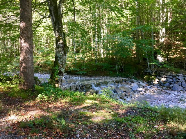
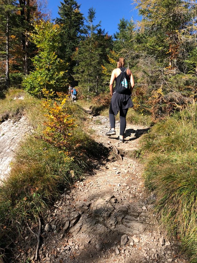
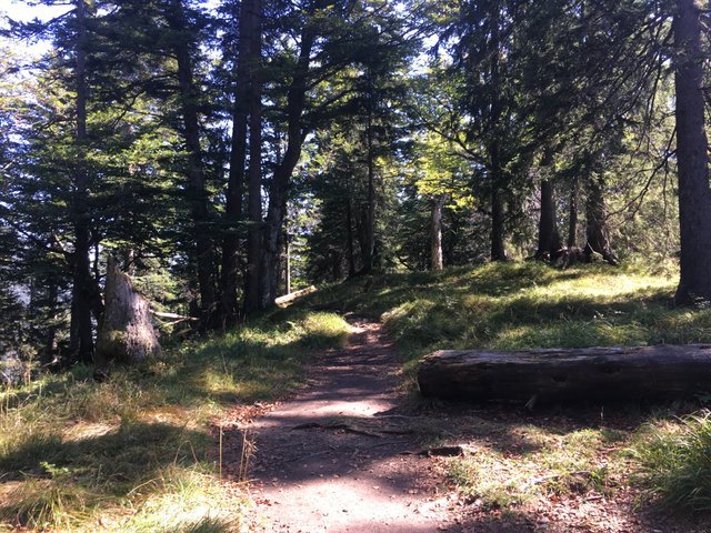
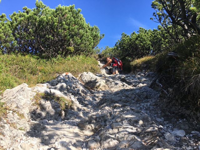
So we started walking along the river at first and went soon straight up about 3 hrs to get to our first stop.
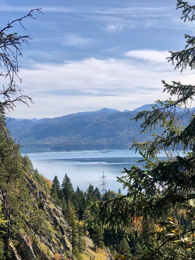
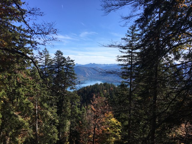
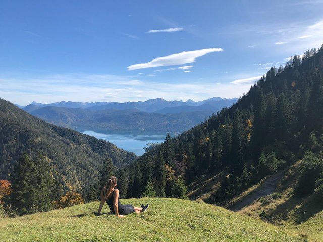
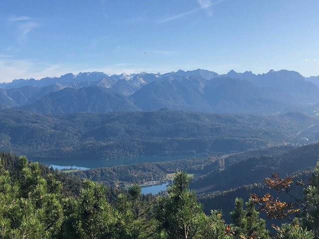
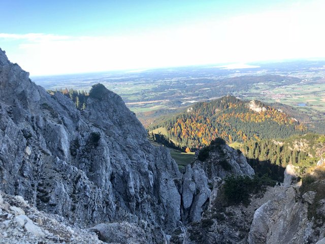
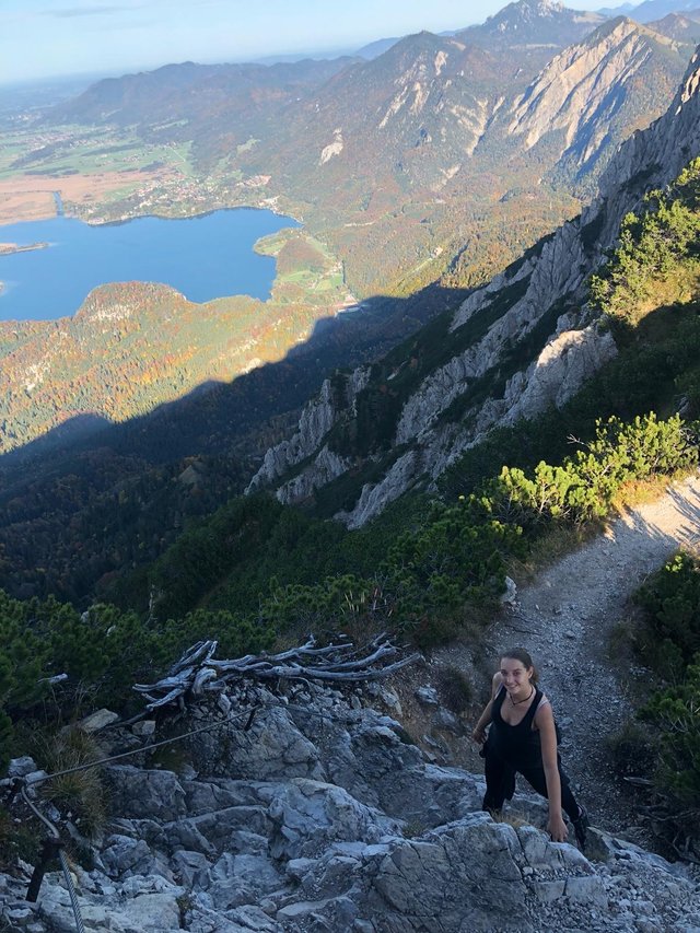
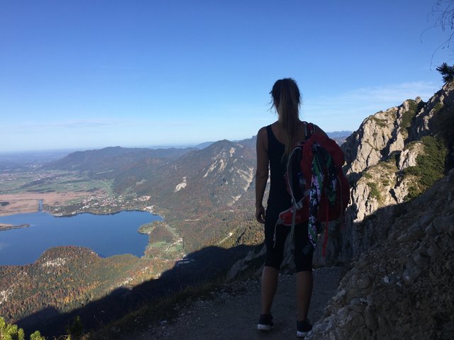
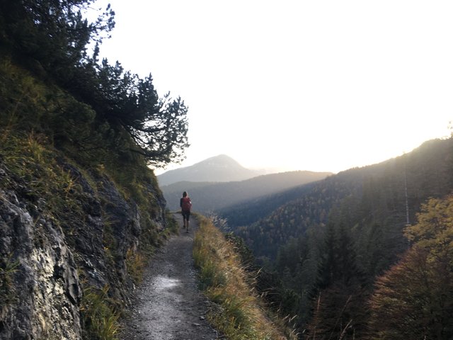
It got more and more steep, and soon we had great views towards the lake!
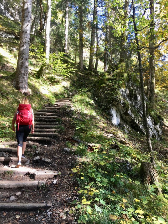
After about 2 hours going streight up, the path was more friendly to us getting easier and crossing the forest. The view of course was still amazing and the colors of the trees more and more beautiful.
From there we had to do another curve and went 15 minutes down to a really big meadow. The perfect spot for another break ;)
https://www.youtube.com/watch?time_continue=23&v=Rp3nxss0hBY
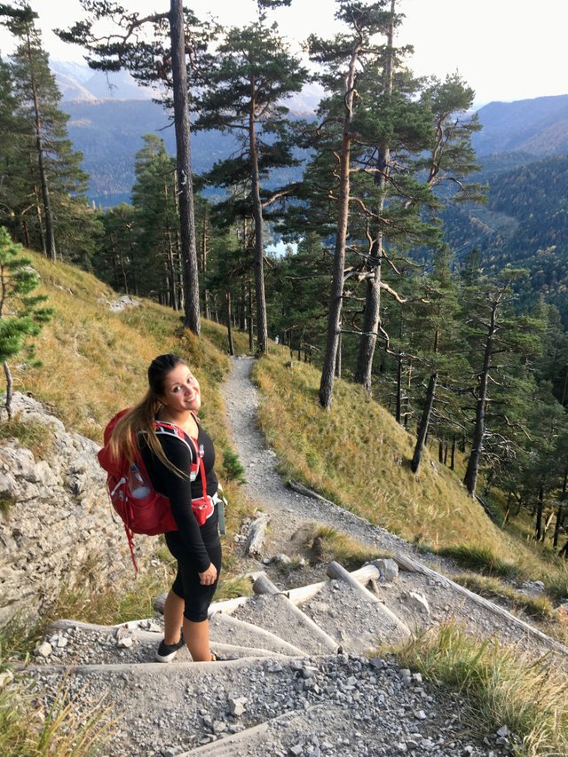
Basically we needed that break to gather some straight and motivation for the toughest part going up the last hill for another hour before having lunch with an incredible view.
When we could see the "Alm" (the House on the top), my legs were already burning like hell.. and I knew we only did half time until now haha. Anyways, from now on it was only crossing and going down, no more 3 hours steep up!
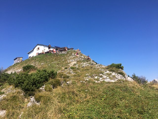
At the house we could do a little toilet break, fill up our water bottles (that were all empty already) and sit down for a bit, having our sandwiches for lunch, while we were enjoying the breath taking view!
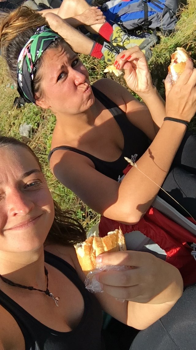
The weather was just perfect. We enjoyed the sun for about half 30 min and got all set for the next part.
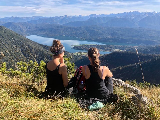
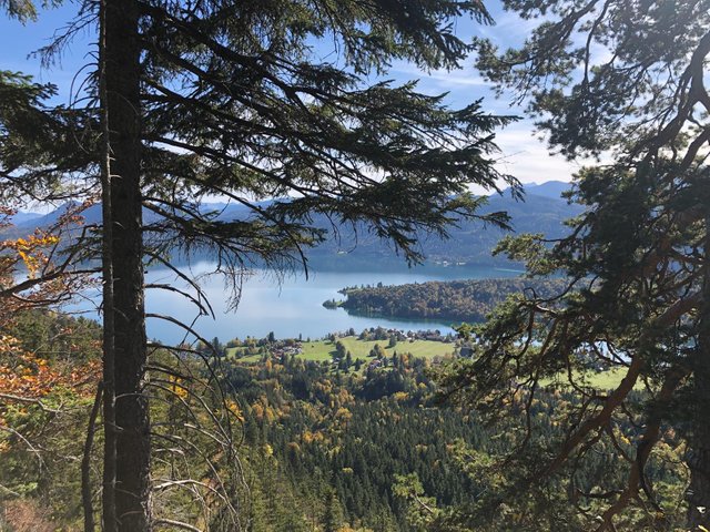
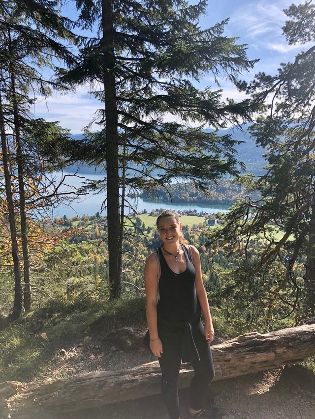
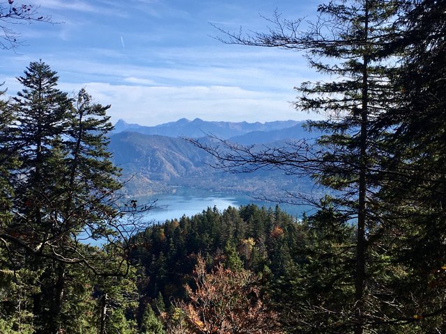
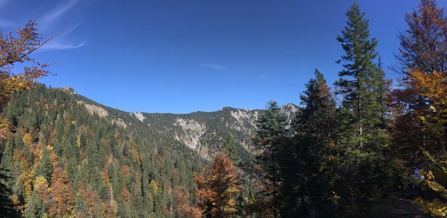
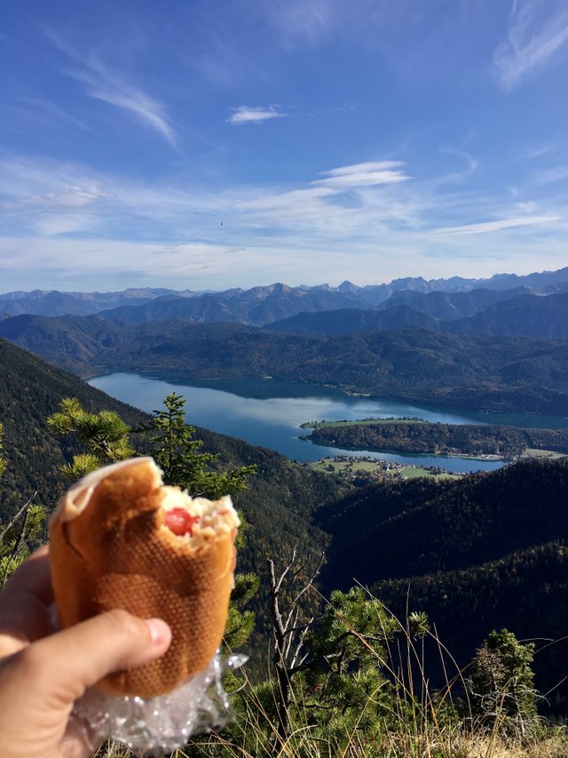
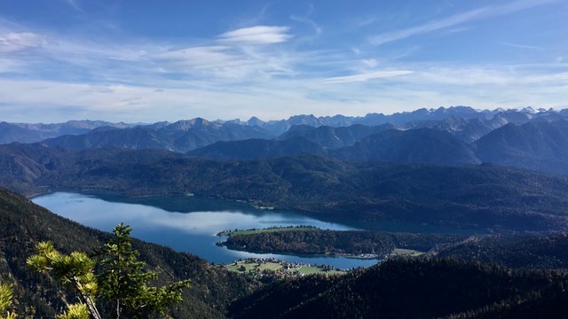
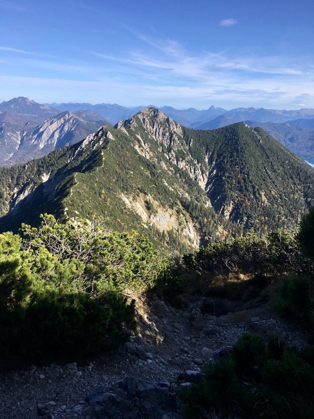
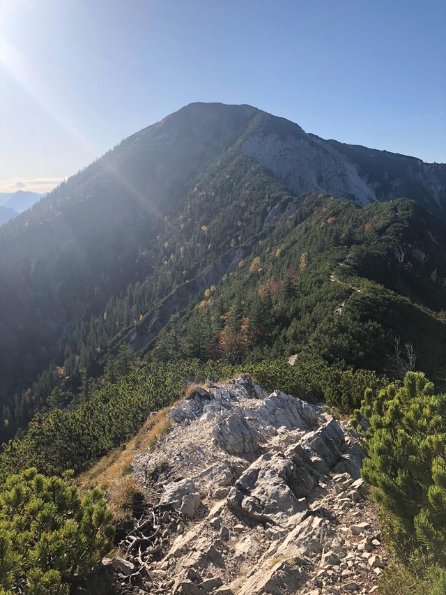
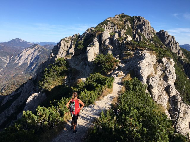
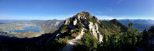
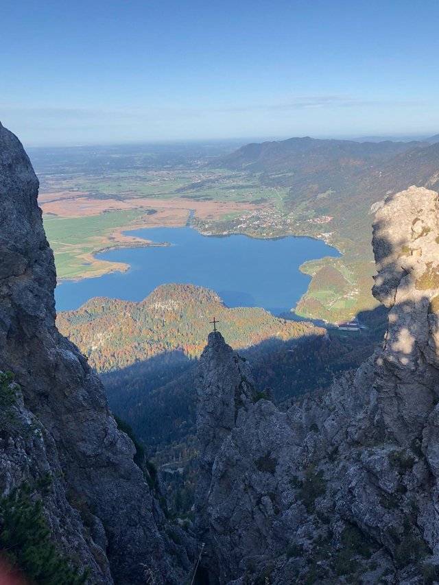
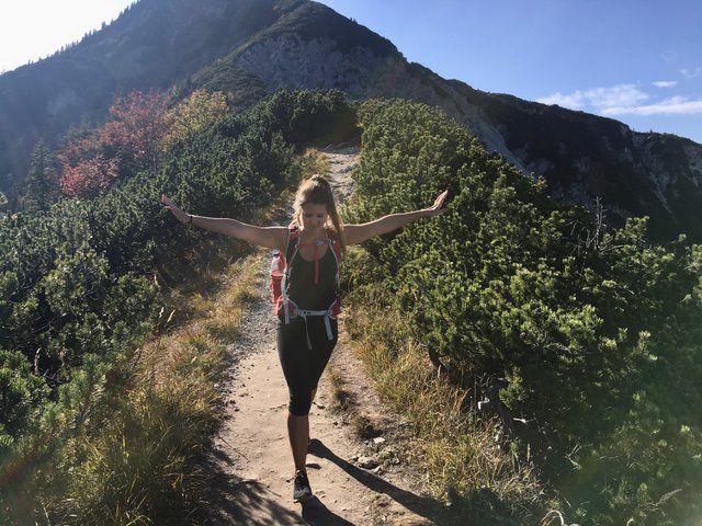
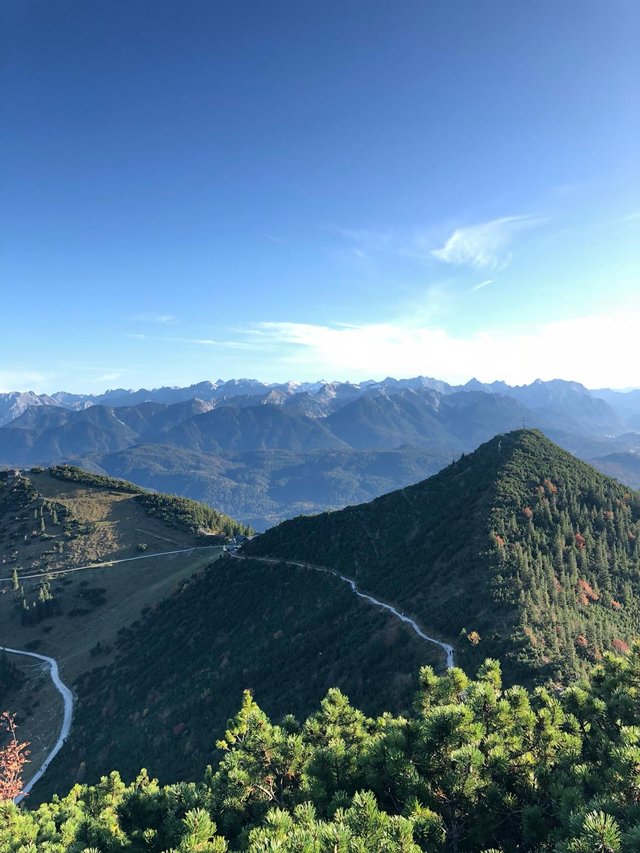
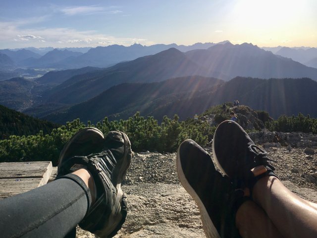
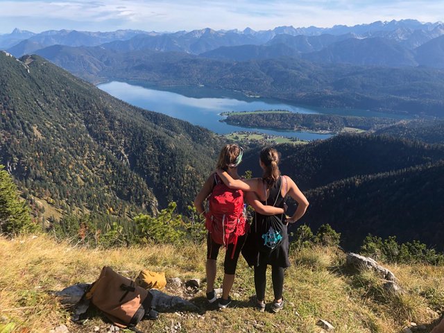
It was just another 10 minutes to the peak of the mountain. From here we had the best view! We could see Munich in the back, several lakes, the Loisach river, of course the alps and so on.
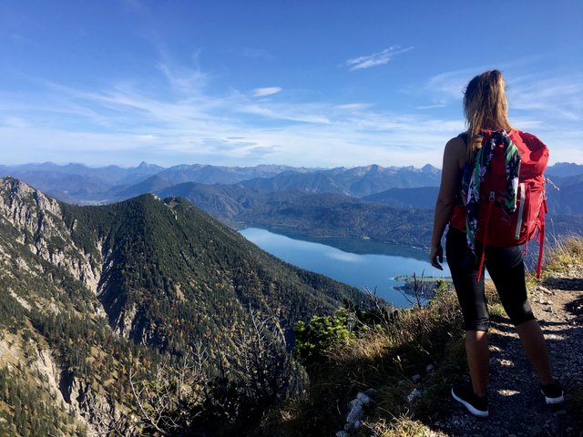
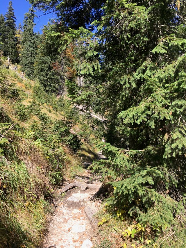
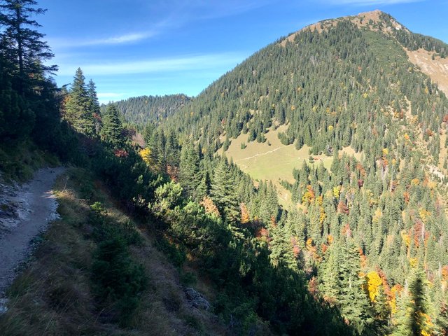
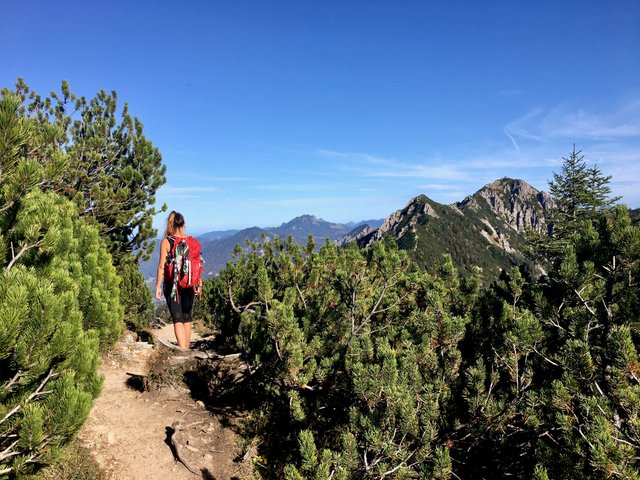
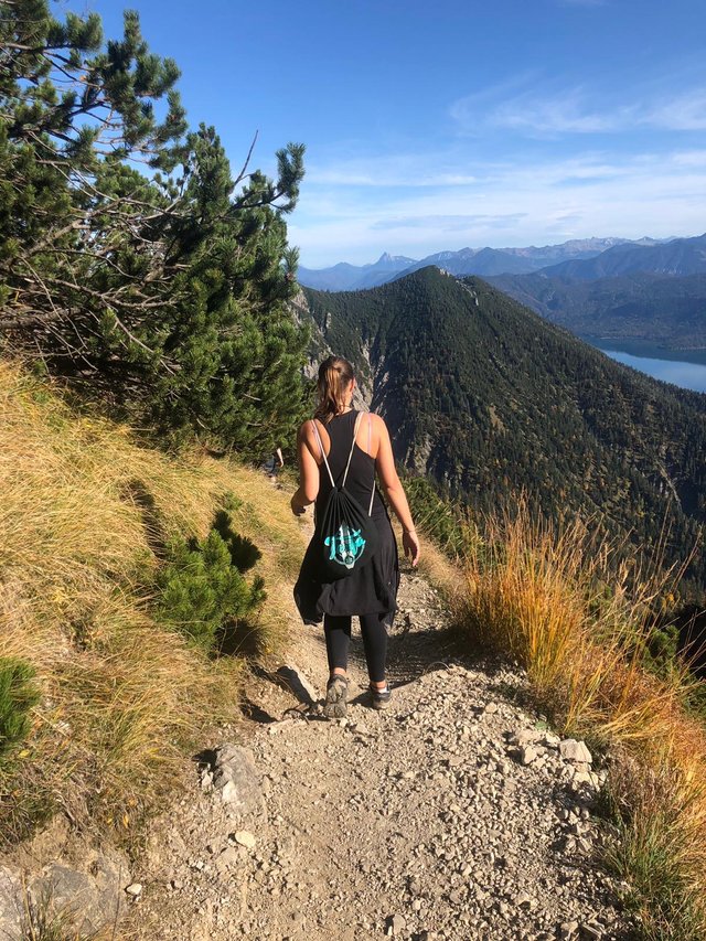
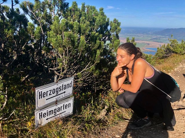
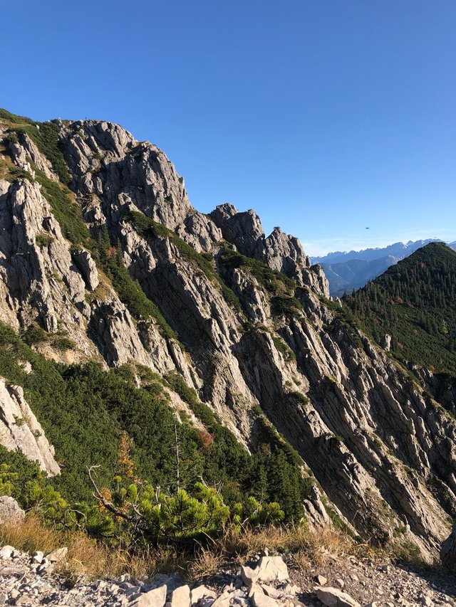
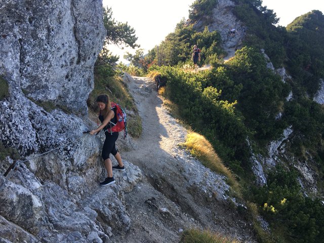
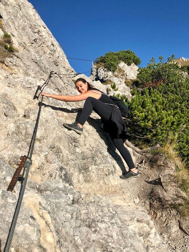
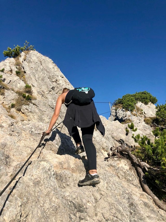
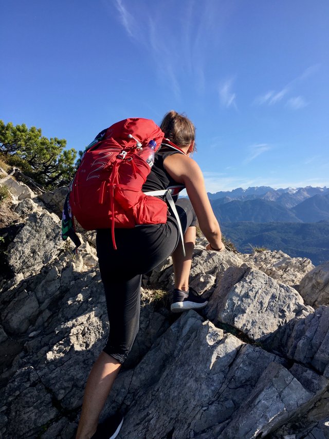
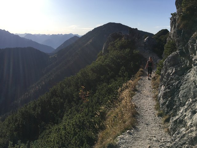
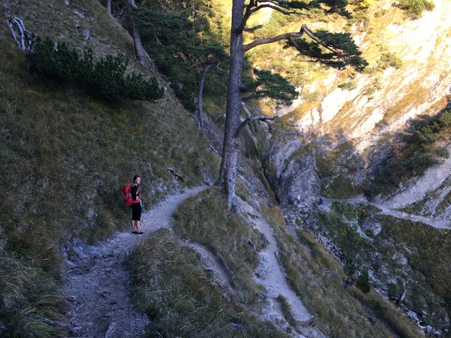
From there the crossing to Herzogstand starts. It is a 2,5 hrs walk going on a small path almost streight to the other peak. At some parts it is really thin, steep, or difficult. Sometimes you even have to climb a bit. But doesn't matter where you are. It is 2,5 hours of amazing views!!!!
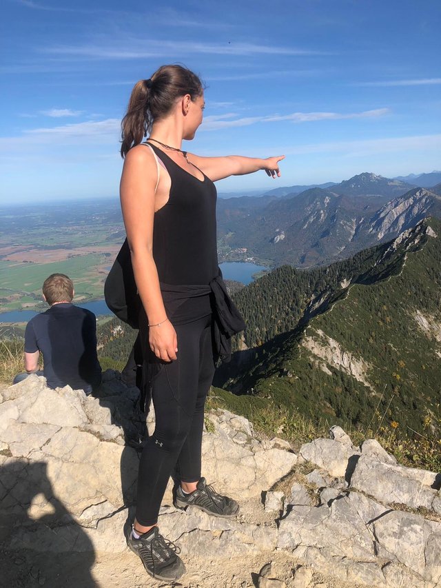
Half way there was a little sign, confirming us that we were on the right track ;) - From there on it got a little bit more tricky.
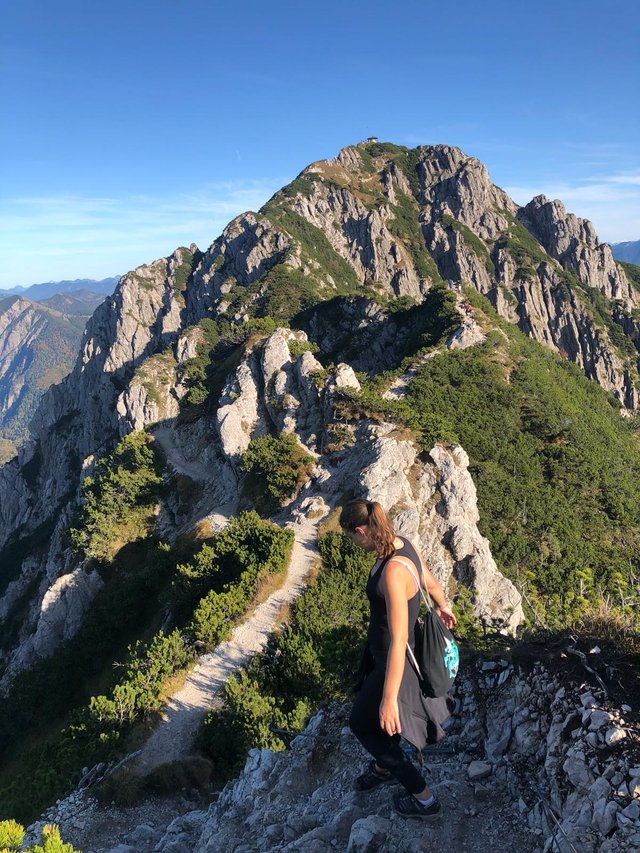
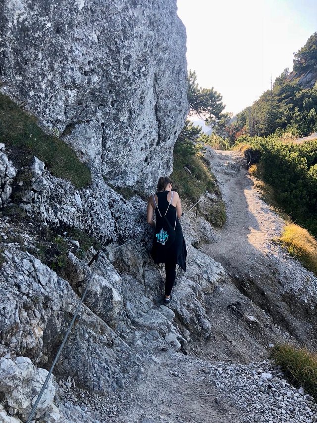
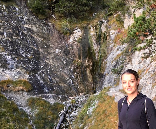
After that part we almost arrived at Herzogstand already and were a bit in a rush because the sun started to get down. Also we were getting tired and wanted to go downhill soon.
Of course the view was still amazing!
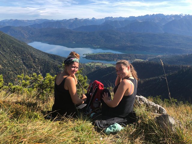
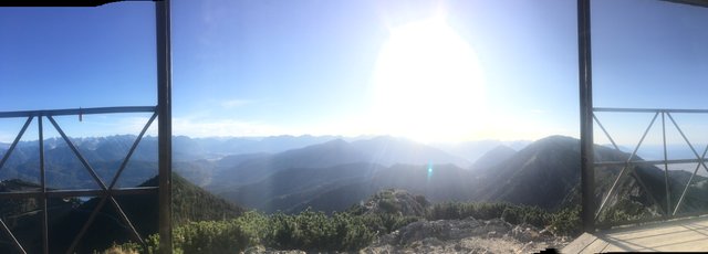
At Herzogstand we did another short break enjoying the amazing view towards the Alps, drinking water and eating some of our food to recharge our batteries for the last part.
The way down was not that steep and a lot easier to go. It didn't take us long and we made it just in time back to the parking lot before it got dark (5 min left haha)
When we arrived at the car our feet were hurting and we were tired, but happy :) In the car we had our last break eating up the rest of our sandwiches and cookies, drinking up the water and getting ready to drive back.

We had the best hiking conditions, it was a long and tough walk and a beautiful day for our friendship! - I was really proud we did it, but our muscles were hurting still 2 days after haha. Totally worth it though!
As always I hope you enjoyed the read and wish you a nice day!
Cheers,
Liz
I know this place, was there 2 years ago :-)
https://steemit.com/beers/@beers/german-beer-of-the-day-on-tour-18-meckatzer-weiss-gold-sonntagsbier-at-herzogstand-mountain
Nice! Perfect place for a beersaturday as well ;)
What an incredible achievement! You must be super fit ☺️ The views are amazing
thanks @adsactly! It was a great hike! I am less fit now after steemfest haha, but I always try my best. Knowing that you will have an incredible view like this and enjoying it while walking definitely helps, that's for sure!
Nice travel ! i like to meet with your pictures these natural places! and you walked a lot too! god bless you!
thanks @adoshop :) I am grad you liked the read :)
Nice photos!! Beautiful place.
Posted using Partiko Android
Perfekt: Die Tour, die Bilder, der Artikel und die Teilnehmer!
Thanks for mentioning me. I recall our common trip there with best vibrations.
But what about swimming after the hike??
Jetzt is leider schon zu kalt zum schwimmen :D - Vielleicht wieder nächstes Frühjahr. Freut mich, dass du mal wieder vorbeischaust bei mir ;)
Besides the great hike and wonderful pics, you both look like the happiest couple in the world! Two souls did find each other! Awesome!
Haha thanks for saying that, but this is my best friend, not my girlfriend ;) Anyways she is also another soulmate for me so I take the compliment ;)
OMG! Sorry, I got totally confused! Ok, now I remember your girlfriend. :)
Congratulations, Your Post Has Been Added To The Steemit Worldmap!
Your personal author link: http://steemitworldmap.com?author=lizanomadsoul
Post link: http://steemitworldmap.com?post=doing-a-eight-hours-hike-in-the-bavarian-alps-at-best-conditions-fotos-videos
Want to have your post on the map too?
Every post will be manually curated by the @steemitworldmap team. All featured posts of the day will get an Upvote from @steemitworldmap and @blocktrades account.

Damn. That's a fantastic hike.
Stunning what views looks incredible. Put's my weekend hike to shame haha. Great you can travel that distance to meet up and share the lands. Steemers should start doing this I want to set up a app but can't programme 💯🐒
Nice! Thank you for your picture! Nice to meet you.